
Lynton Lynmouth Find a place to stay
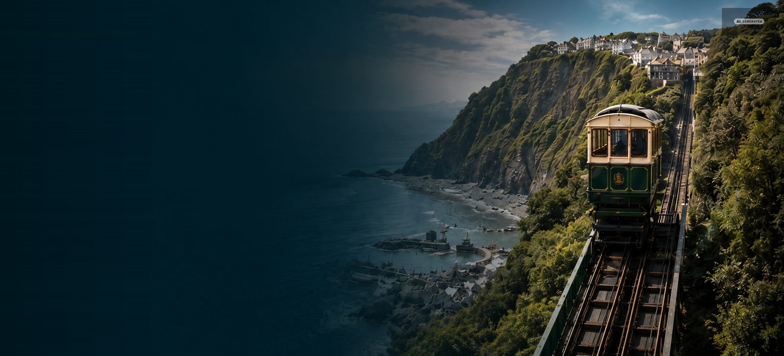
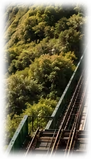
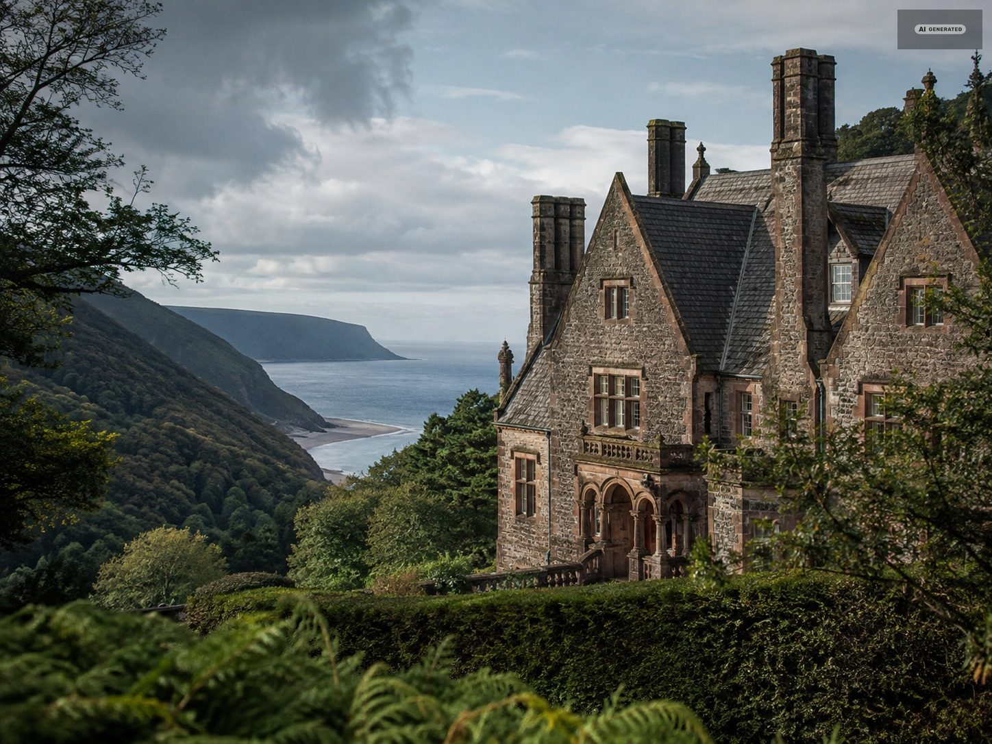
The Lynton and Lynmouth Cliff Railway climbing its wooded cliff above the harbour, with the Bristol Channel beyond
AI-generated image

Two villages.
One remarkable
journey.Lynton and Lynmouth · the Exmoor coast · North Devon

Where the Exmoor coast meets the Bristol Channel. Discover Lynton and Lynmouth – joined since 1890 by the highest and steepest fully water-powered railway in the world.

The cliff railway
that runs on water

Opened in 1890 and still running on the system it was built with, the cliff railway lifts passengers 500 feet between Lynmouth harbour and the clifftop streets of Lynton on nothing but water and gravity. It is the reason Lynton and Lynmouth work as one place rather than two.

The upper carriage fills its tank from the West Lyn river until it outweighs the carriage below. It descends, hauling the lighter one up, and empties its tank at the bottom. No engine has ever been fitted.

See how it works
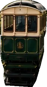
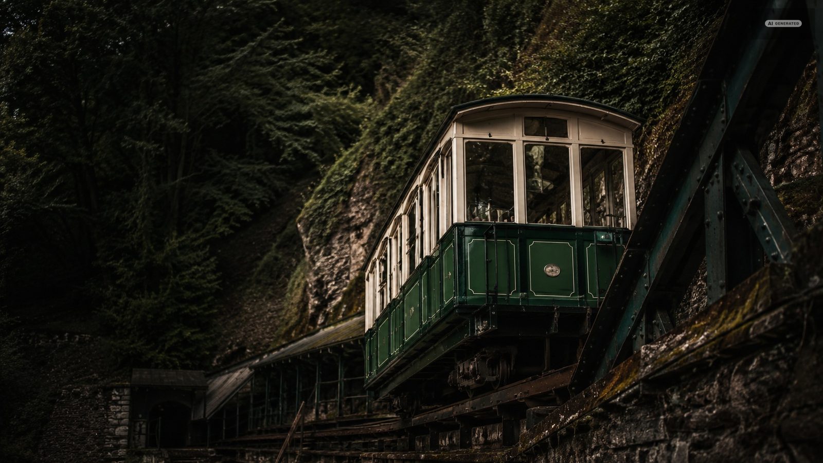
A green and cream cliff railway carriage standing on its track in the wooded cutting
AI-generated image

How it works

  1. The upper tank fills with water from the river.
  2. The heavier carriage begins its descent.
  3. Its weight draws the lower carriage up the cliff.
  4. At the bottom the water is released and the cycle turns.

Stories shaped
by this landscape

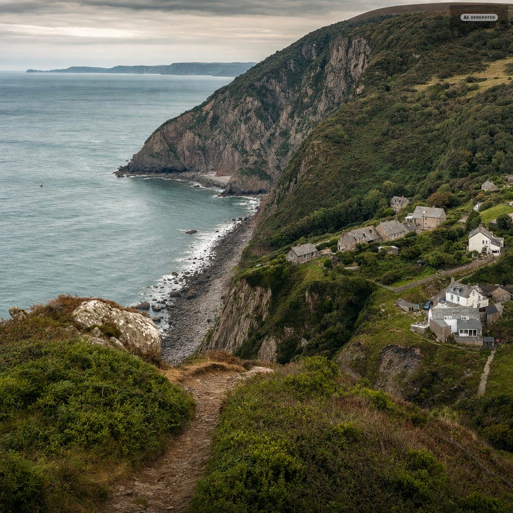
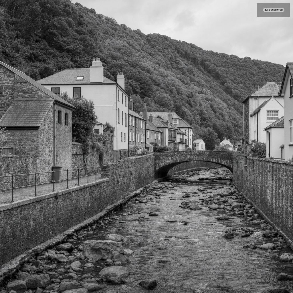
The widened boulder channel of the East Lyn running between high stone walls through Lynmouth to the sea, the rebuilt village on both banks
AI-generated image

Devon, 1952

The Lynmouth flood
of 1952

On the night of 15 August 1952 nine inches of rain fell on Exmoor. The East and West Lyn rose together and carried the village into the sea. Thirty-four people died, and the Lynmouth that stands today was rebuilt around a widened river channel.

Read the story
Exmoor in fiction

Lorna Doone
country

R. D. Blackmore set his 1869 romance in the combes above Lynmouth, and the moor has answered to the book ever since. Badgworthy Water, the Doone Valley and Oare church can all be walked in a day from the coast.

Explore the story
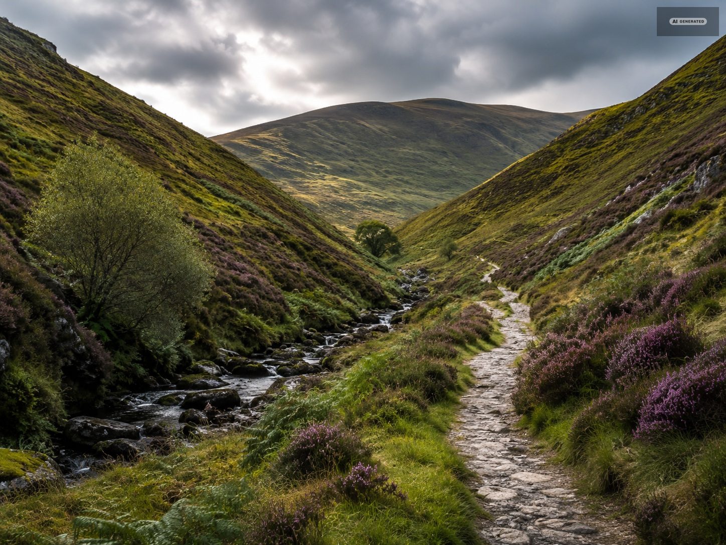
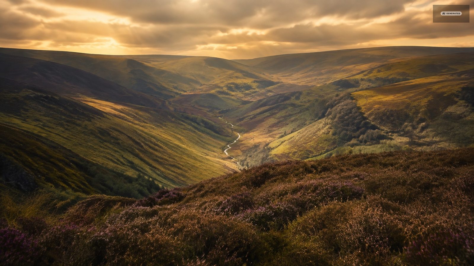
The combes of the Doone Valley on Exmoor under a low sun, heather and bracken running down to the valley floor
AI-generated image

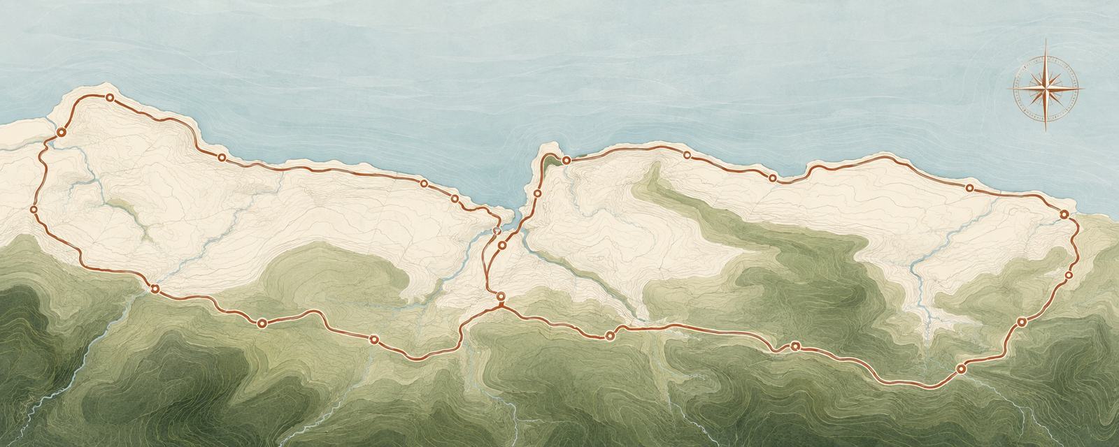
The 21 Mile Drive across North Devon

The scenic loop out of Lynton over Countisbury, along the coast to Porlock and back across the moor.

Plan your route
A drawn map of the North Devon coast from Lynton east to Minehead, the twenty-one mile loop marked in copper over the contours of Exmoor
  1. Lynton
  2. Countisbury Hill
  3. Porlock Weir
  4. Bossington Beach
  5. Minehead
  6. Selworthy

Plan your visit to Lynton and Lynmouth

Weather today

Lynmouth harbour, live

The Exmoor coast sits several degrees milder than the moor above it, and the two can differ by a jumper in the same hour. Check both before a walk that climbs.

Local conditions

Getting here

Barnstaple is the nearest railway station, about an hour away by road. The 309 and 310 buses run in from Barnstaple, and the north Devon coast road arrives over Countisbury Hill.

How to get here

Market days

Pannier markets run through the week across North Devon and West Somerset, from Barnstaple and South Molton to Minehead and Dulverton. Produce, crafts and the odd secondhand book stall.

See local markets

What's on

Walking festivals, the Lynmouth regatta weekend, carnival in the autumn and a run of open-garden and food events on the moor through the summer.

View events

Before you come

The questions we are asked most

How do you get between Lynton and Lynmouth?

By the cliff railway, which covers the five hundred feet between them in under two minutes and has run on water and gravity since 1890. There is also a road, which is walkable downhill and a genuine climb the other way.

How long do you need in Lynton and Lynmouth?

A day covers the harbour, the cliff railway, the Flood Memorial Hall and the walk to Watersmeet. Two days adds the Valley of the Rocks and a stretch of the coast path. A week is not too long if you are walking, because the moor behind the villages is effectively a second destination.

Do you need a car?

Not for the villages. Almost everything worth seeing is within two miles of the harbour and the cliff railway handles the height. For Dunkery Beacon, Porlock, the Doone Valley or the Atlantic beaches you will want one - the bus network between the moorland villages is thin.

When is the best time to visit?

Autumn, for colour in the oak woods, water in the rivers, the warmest sea of the year and quiet streets. Spring is a close second for walking. July and August are warm and busy; winter is short-dayed, often wild, and the season for the dark skies above the moor.

Is Lynmouth a beach resort?

No. The shore here is boulder and coarse sand below high cliffs, and the tidal range is among the largest in the world. The sand beaches are on the Atlantic coast around Woolacombe and Croyde, between forty minutes and an hour west by road.

What happened at Lynmouth in 1952?

Around nine inches of rain fell on a saturated Exmoor on the night of 15 August. The East and West Lyn rose together, the bridges failed, and a large part of the village was carried into the sea. Thirty-four people died. The village was rebuilt around a widened river channel, which is the most visible thing about Lynmouth today.