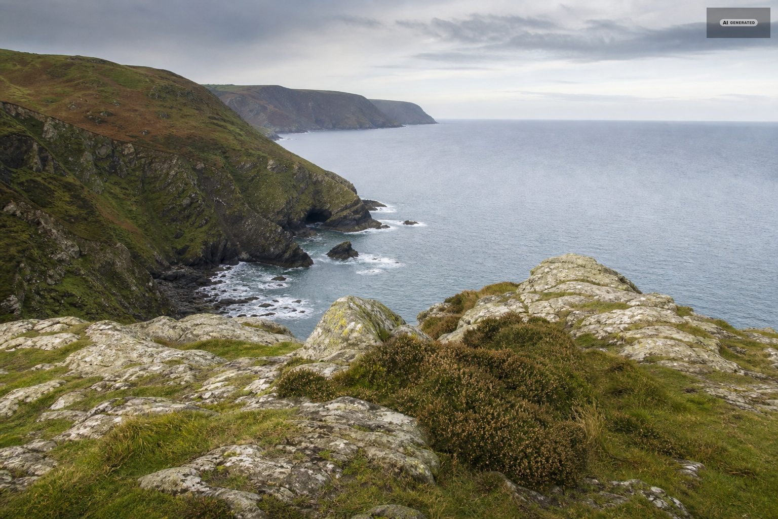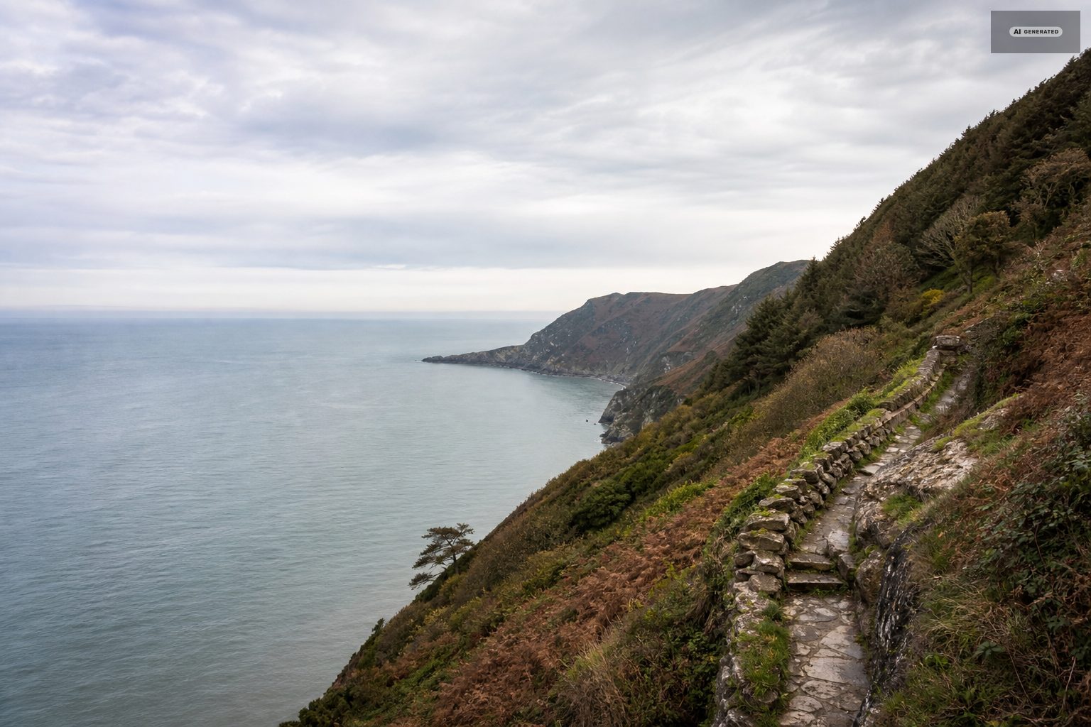
One and a half miles from Lynmouth
Watersmeet: where Hoar Oak Water joins the East Lyn
A mile and a half up the gorge from Lynmouth, two rivers meet under hanging oak woodland, and there has been a tea room at the junction for well over a century.
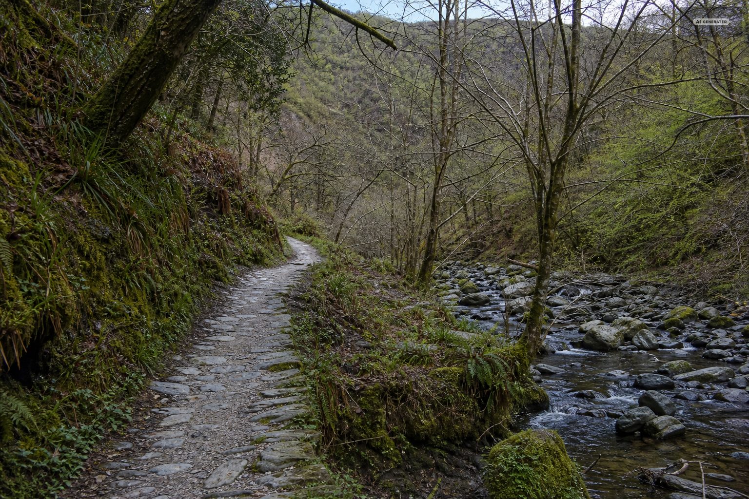
The path leaves Lynmouth beside the East Lyn and does not leave it again. For a mile and a half it climbs gently through steep oak woodland, with the river below on one side and the valley wall rising on the other, until the water arriving from the north - Hoar Oak Water - joins it over a series of rock ledges. That junction is Watersmeet.
-
AI-generated image 01
The walk
Start at the harbour and follow the signs upstream past the Flood Memorial Hall. The path is well made and mostly wide enough for two, with a few narrower sections above drops. It climbs steadily but never steeply; the return is downhill the whole way and noticeably quicker.
Allow forty to fifty minutes each way plus whatever you spend at the far end. It is one of the few genuinely all-weather walks here: the tree cover keeps the worst of the rain off, and the river is more impressive when it is high.
The path is well made and well used, which is why it suits almost everybody, but it is not level: it climbs steadily with the river and has rock steps and roots along the way. Allow forty minutes to an hour each way at a walking pace, more if you stop - and most people stop, because the river is doing something different every hundred metres.
-
AI-generated image 02
Watersmeet House
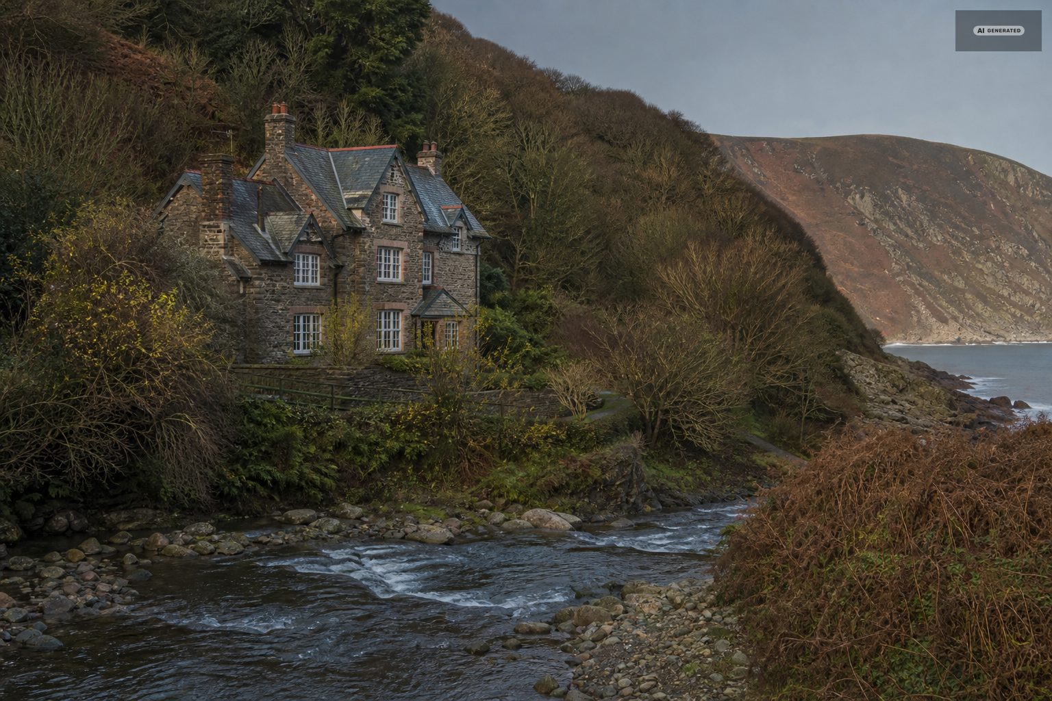
A former fishing lodge at the confluence, now in the care of the National Trust and run as a tea room with a garden that sits directly above the water. It is the reason a large number of people do this walk, and there is no shame in that - it is very well placed. Opening is seasonal, so if the tea is the point of the trip, check before you set out.
The house sits where the two rivers meet, which is a strange place to build anything, and it was built as a fishing lodge for exactly that reason. It is in National Trust hands now and serves as the tea room at the halfway point of most people's walk. Opening is seasonal, and in winter the valley is worth walking whether or not there is tea at the end of it.
-
AI-generated image 03
Beyond the confluence
Paths continue in both directions from Watersmeet. Following the East Lyn further upstream leads towards Rockford and Brendon and eventually into the country covered in Lorna Doone country. Turning up Hoar Oak Water takes you steeply out of the woodland onto open moor, and is the quickest transition from gorge to moorland on this side of the valley.
A common circuit returns to Lynmouth on the higher path on the opposite bank rather than retracing the riverside, which adds a little climb and a different view of the same gorge.
Most visitors turn round at the tea room, which means the mile above it is quieter than the mile below by a wide margin. The path continues along the water towards Rockford and Brendon through the same woodland, and for anyone with a spare hour it is the better half of the valley.
-
AI-generated image 04
The river
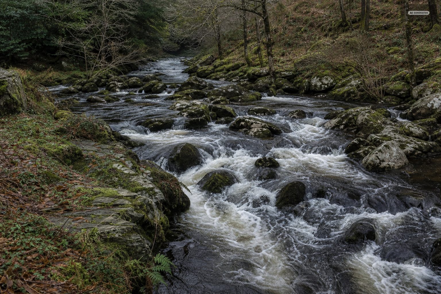
This is the water that destroyed Lynmouth in 1952. Walking up the gorge is the clearest way to see why: the catchment is steep, the woodland floor sheds water rather than holding it, and the channel is narrow with a great many boulders in it. On a wet week the noise alone makes the point.
The East Lyn is a spate river. It rises fast after rain on the moor and falls almost as fast, and the same stretch can be a clear trickle over gravel one week and a brown chute the next. The boulders wedged high above the normal waterline are the honest record of what it does at its worst.
That character is why the valley looks the way it does. The river has been cutting through this rock for long enough to leave the gorge sides too steep to farm, which is precisely why the woodland survived.
-
AI-generated image 05
Rockford, Brendon and the upper valley
Most people turn round at the tea room. Carrying on upstream is quieter and the woodland thins into a more open valley with meadows beside the water. Rockford is about a mile and a half further on and has an inn on the riverbank; Brendon is a mile beyond that. Walking out to Rockford and returning makes a full day of roughly seven miles with almost no climbing, and it is the flattest long walk available from the villages.
Above the confluence the valley opens and the walking becomes gentler. The path stays with the water most of the way, and the hamlets along it are small enough that the pub at Rockford and the church at Brendon are the two landmarks. It is the quiet end of a well-used valley, and on a summer afternoon that is worth the extra mile.
-
AI-generated image 06
What grows here
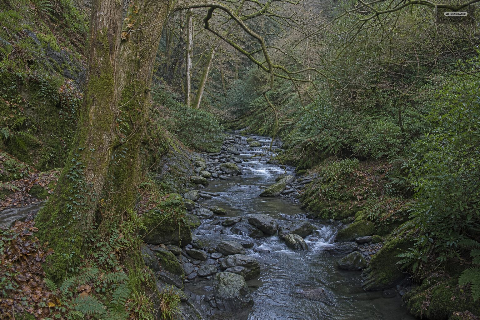
The gorge woodland is mainly sessile oak, coppiced for centuries and left to grow on, with holly and hazel underneath. The humidity that comes from a fast river in a steep-sided valley suits mosses, liverworts and ferns, and the boulders and tree trunks close to the water carry an unusual density of them. In spring the woodland floor takes bluebells and wild garlic; by high summer the canopy closes and the path is deeply shaded, which is the reason it is the walk to choose on a hot afternoon.
The East Lyn is also a working trout and salmon river, and stretches of it are fished under permit - see fishing.
The reason the woodland survived is that the sides of the gorge were too steep to clear, so what stands here is old sessile oak with ash and rowan on the wetter ground - the kind of Atlantic oak woodland that has become rare in England. The humidity that comes off the river feeds mosses, liverworts and ferns on almost every surface, which is why the place is green in a way that the moor above it is not.
Common questions
How long does the walk from Lynmouth to Watersmeet take?
Forty to fifty minutes each way at an ordinary walking pace, over about a mile and a half. The outbound leg is gently uphill; coming back is quicker.
Is there a tea room at Watersmeet?
Yes. Watersmeet House, a former fishing lodge now run by the National Trust, has a tea room and a garden overlooking the confluence. Opening is seasonal.
Which rivers meet at Watersmeet?
The East Lyn and Hoar Oak Water, which comes down from the moor to the north and joins it over rock ledges.
Is the Watersmeet path suitable for pushchairs?
Partly. The lower section from Lynmouth is wide and well surfaced, but there are narrower sections and steps further up, so an all-terrain buggy copes better than a small one.