Exmoor and the coast
Walking from Lynton and Lynmouth: the coast path, the river gorge and the moor above
Very few places let you start at sea level in a wooded gorge and be on open moorland inside an hour. This is one of them.
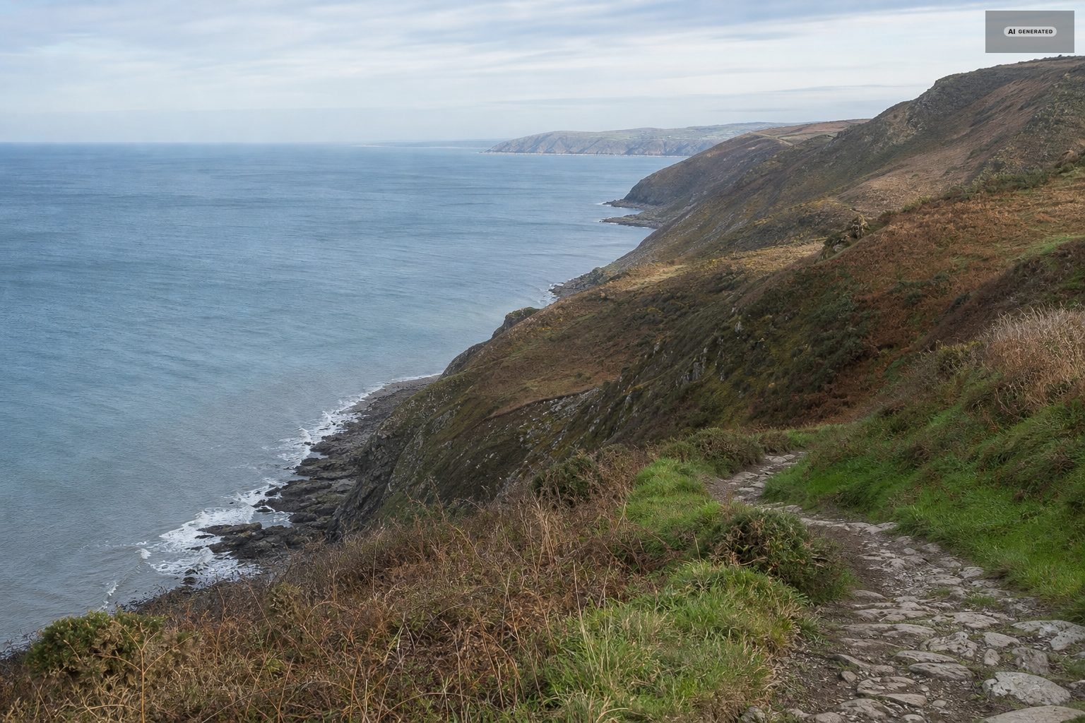
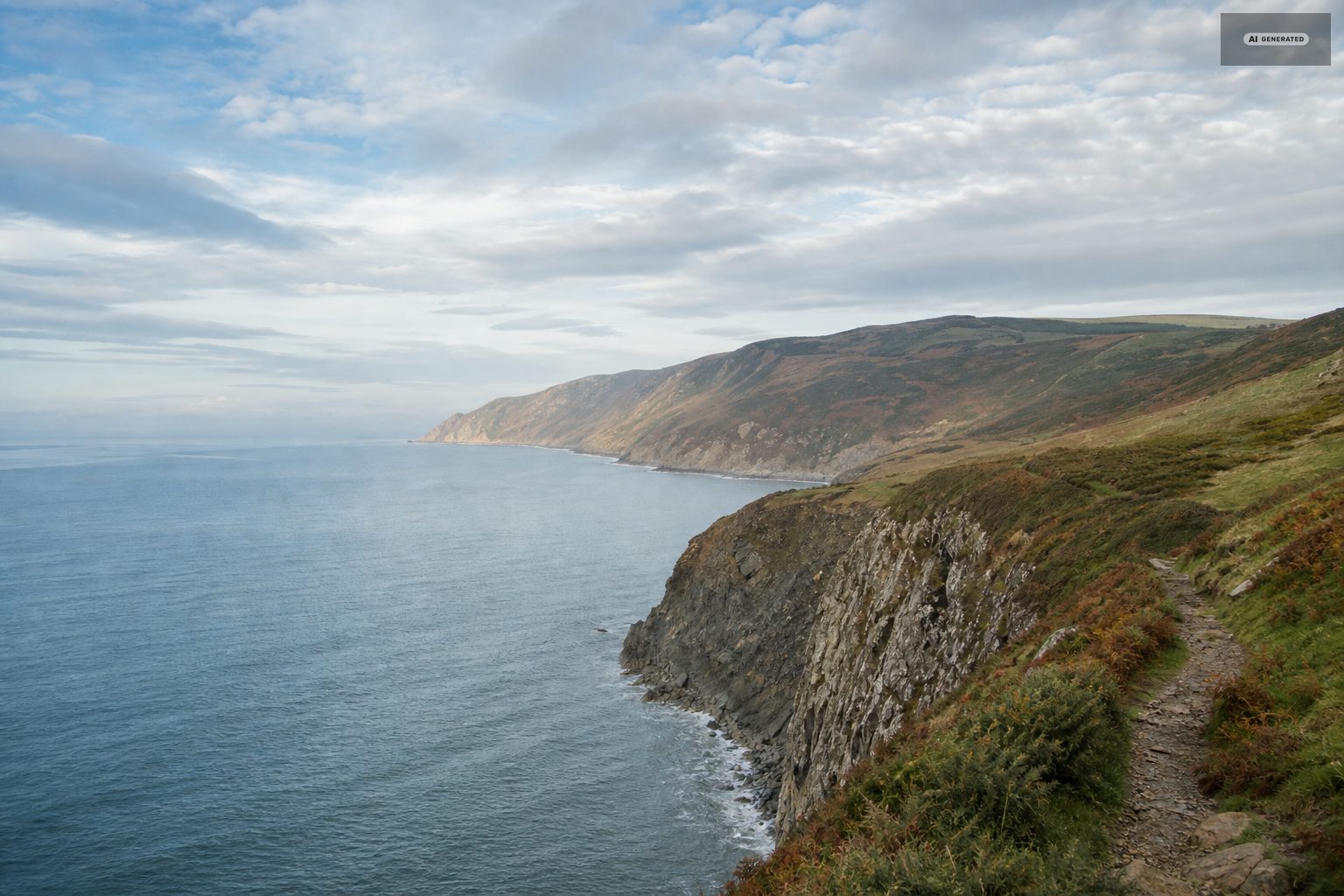
The South West Coast Path runs straight through both villages, and the reason walking here is disproportionately good for the size of the place is vertical. Lynmouth is at sea level in a wooded river gorge. Lynton is five hundred feet up on a shelf. Above Lynton the ground keeps going to open heather moor, and the coast path runs along the top of six-hundred-foot cliffs the whole way. Three quite different kinds of country stack on top of each other within about two miles.
-
AI-generated image 01
Easy walking from Lynmouth
North Walk to the Valley of the Rocks
One mile, level, made surface. A path cut into the cliff face running west from Lynton with the sea dropping away beside you, ending in the Valley of the Rocks. Half an hour each way. The best single hour available to anyone who does not want a climb.
Lynmouth to Watersmeet
About a mile and a half each way along the East Lyn, on a good path through steep oak woodland with the river beside you the whole time. There is a National Trust tea room at the far end where the waters meet. Gently uphill going out, downhill coming back, and shaded on hot days. This is the most-walked route in the area for good reason.
The Glen Lyn Gorge path
Short, steep in places, and the quickest way to understand the West Lyn's gradient - the river that did most of the damage in 1952.
What makes the easy walks here unusual is that they are genuinely level while the ground around them is not. The riverside path up the East Lyn and the Esplanade to Manor Green both stay flat by following water rather than contours, which is why they suit small children, pushchairs on the lower sections, and anyone who would rather look up at the cliffs than climb them.
-
AI-generated image 02
Half-day walks on the coast path
Countisbury and Foreland Point
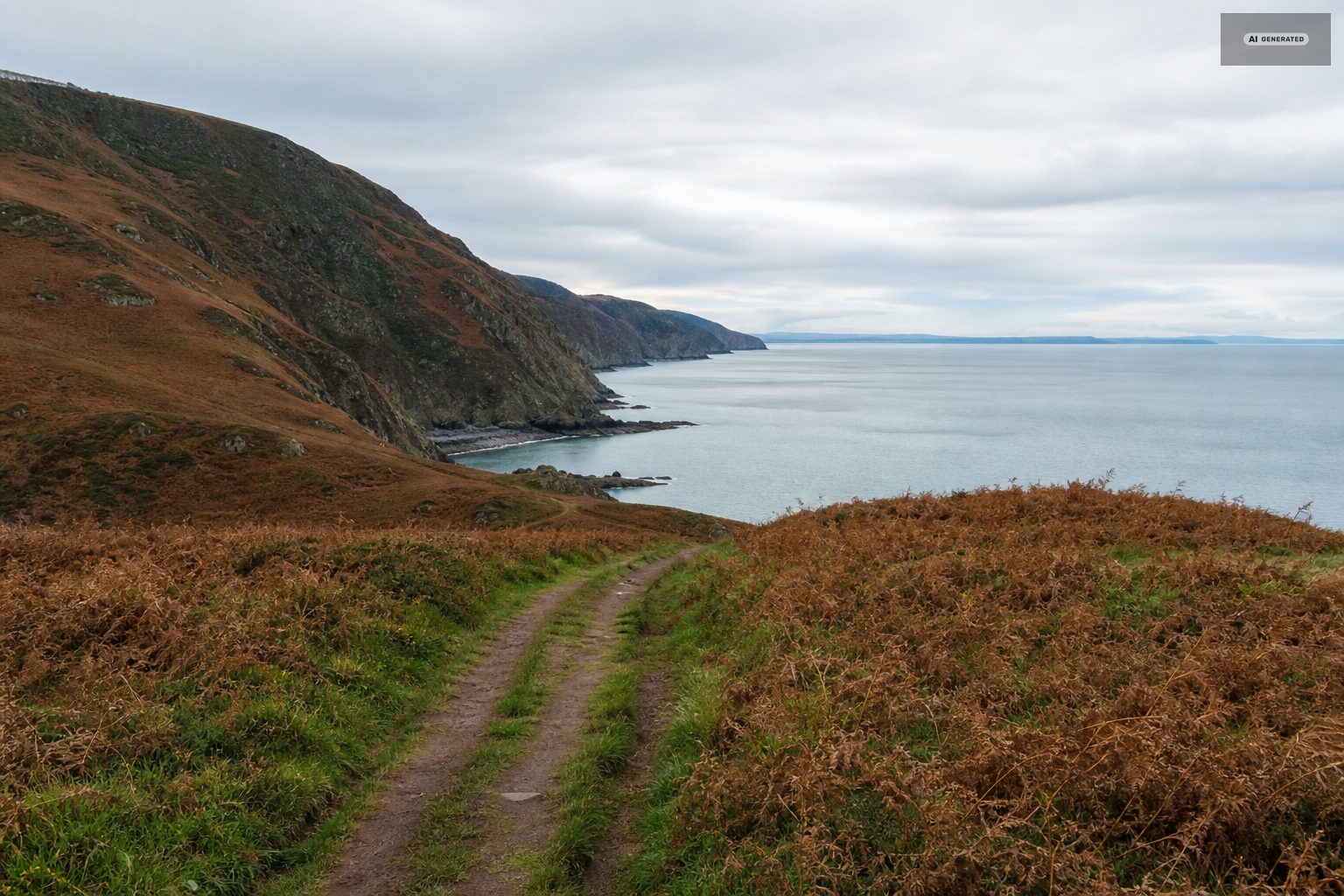
Out of Lynmouth on the coast path, up the long climb over Countisbury Hill, and on towards Foreland Point - the northernmost tip of Devon, with a lighthouse below the headland. The climb out of the harbour is the steepest sustained ascent close to the villages. Turn back at any point; the views start early.
The Valley of the Rocks to Lee Bay and Woody Bay
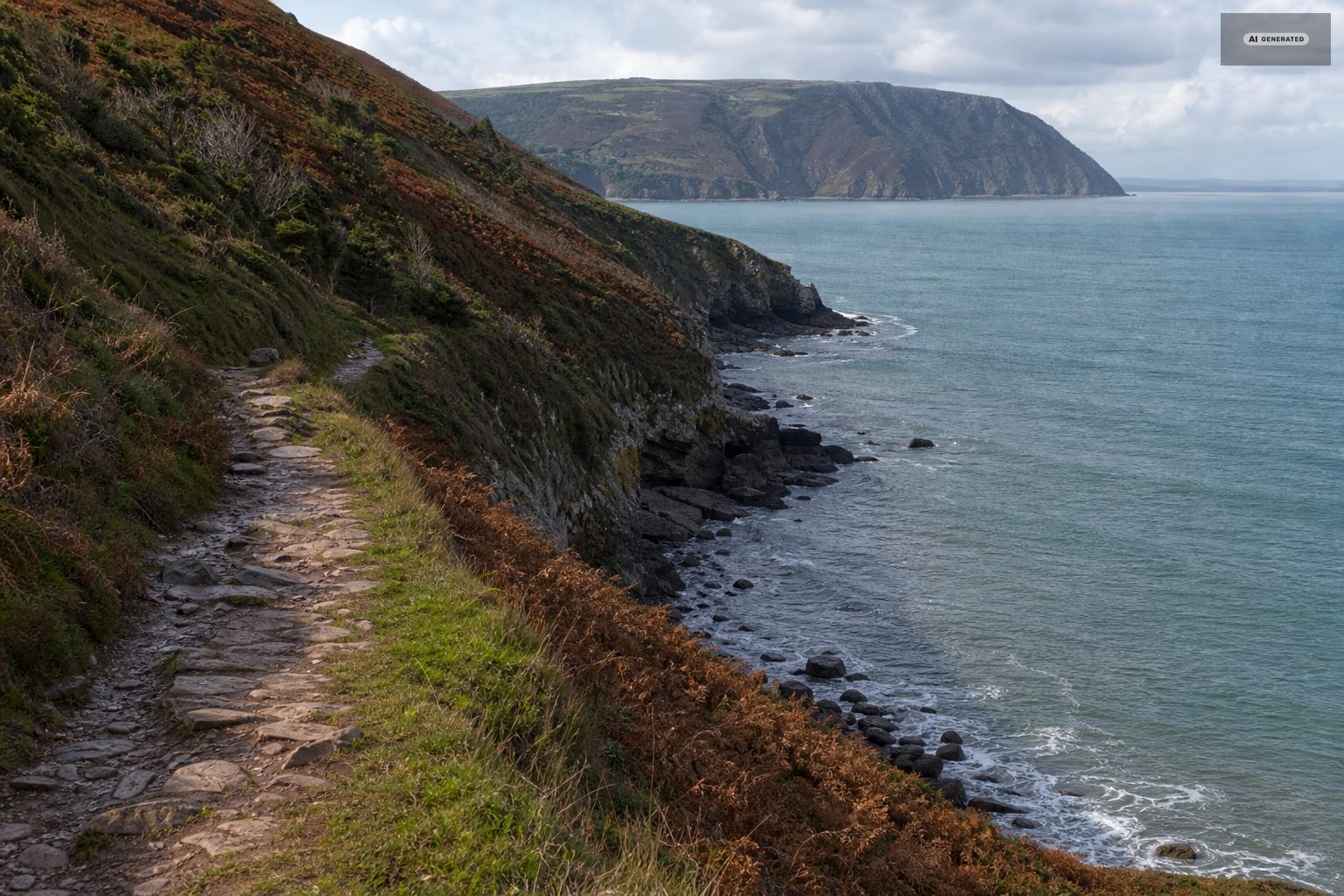
Continue west past Castle Rock along the coast path or the toll road. Woody Bay is about three miles from Lynton, through hanging oak woods that come almost to the shoreline, and can be made into a circuit returning over the higher ground.
Six circular walks
The villages have long had a set of six circular routes of varying length starting from the centre of Lynton or Lynmouth, taking in the coast, the gorge and the moor edge in different combinations. Sheets are usually available locally.
The coast path in both directions from the villages is spectacular and steady rather than technical, but it is exposed, and the sections above Foreland Point and along the North Walk have long drops close to the line. In wind that is worth taking seriously, and with a dog or a young child it is worth choosing the inland alternatives on the worst days.
-
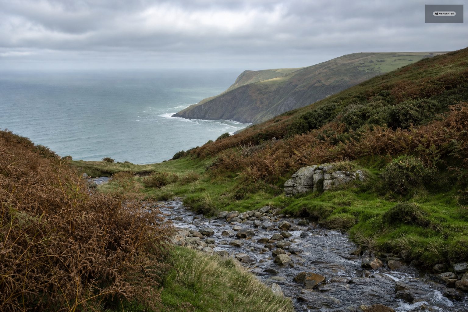
AI-generated image 03
Full days on the moor
The Two Moors Way
The Two Moors Way, the long-distance route between Exmoor and Dartmoor, starts at Lynmouth. The first day climbs out of the gorge and onto open moor and is a serious introduction; walking the first stretch as an out-and-back is a good way to sample it.
Into Lorna Doone country
Coast path east over Countisbury, inland at Brendon, and along the valley to Malmsmead and Badgworthy Water - about twelve miles there and back, crossing from sea cliff to remote moorland combe. See Lorna Doone country.
A full day on Exmoor is a different proposition from a coast walk of the same distance. The paths cross open ground where the line on the map is clearer than the line on the hill, the going is soft in the combes for most of the year, and the weather changes faster on the top than it does at the harbour. None of that makes it hard walking; it makes it walking that wants a map, a compass and an honest look at the forecast before you set off.
The reward is space. Once you are half an hour from a road on the high moor you can walk for hours and meet nobody, and the ground gives you red deer at dawn and dusk, buzzards most of the day, and skylarks over the heather through the summer.
-
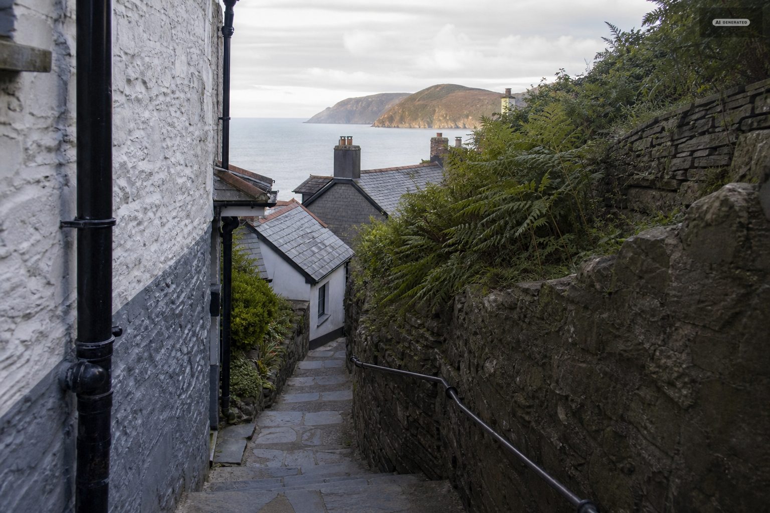
AI-generated image 04
Practicalities
The weather on the moor above is routinely several degrees colder and considerably wetter than on the sea front, and cloud sits on the tops when the coast is clear. Take a layer you do not think you need. The cliff paths are exposed and unfenced in places, and the woodland paths hold water and are slippery under leaf cover in autumn. Mobile signal is unreliable in the gorges.
Dogs are welcome on almost all of these routes, on leads near the feral goats in the Valley of the Rocks and near livestock on the moor.
Two practical points repay attention here more than anywhere. The first is water: the streams look clean and are still worth treating, and the moorland sections have no taps at all. The second is the return leg. Almost every walk out of Lynmouth ends with a five-hundred-foot climb, and the cliff railway - when it is running - turns that climb into two minutes. Plan the day so the railway is available at the end of it, or accept the ascent.
Boots rather than trainers, for the simple reason that the ground is wet in the combes long after the weather has dried out on top, and the coast path has rock steps that are polished by use.
Common questions
What is the best walk from Lynmouth?
Lynmouth to Watersmeet along the East Lyn - about a mile and a half each way on a good wooded riverside path with a tea room at the far end. It is gentle, shaded, and the most representative short walk in the area.
How hard is the walk from Lynmouth to Lynton?
It is a climb of about 500 feet in well under a mile, so it is steep but short. Most people walk down and take the cliff railway back up.
Does the South West Coast Path go through Lynton and Lynmouth?
Yes, it runs through both villages, arriving over Countisbury from the east and leaving west through the Valley of the Rocks towards Lee Bay and Woody Bay.
Where does the Two Moors Way start?
At Lynmouth. The route runs south across Exmoor and on to Dartmoor, and the first section climbs directly out of the river gorge onto open moor.
Are the walks suitable for dogs?
Almost all of them. Keep dogs on a lead around the feral goats in the Valley of the Rocks, near livestock on the moor, and on the unfenced cliff sections.