Roads, lanes and moor
Cycling from Lynton and Lynmouth: hills you should know about first
This is not gentle cycling country. It is very good cycling country, which is not the same thing.
Every road out of Lynmouth goes up. The village is at sea level in a gorge, and the ground behind it rises to open moor within a couple of miles, so there is no such thing as a flat start. Riders who accept that find some of the best road and off-road cycling in the south west; riders who do not tend to push.
-
AI-generated image 01
The climbs
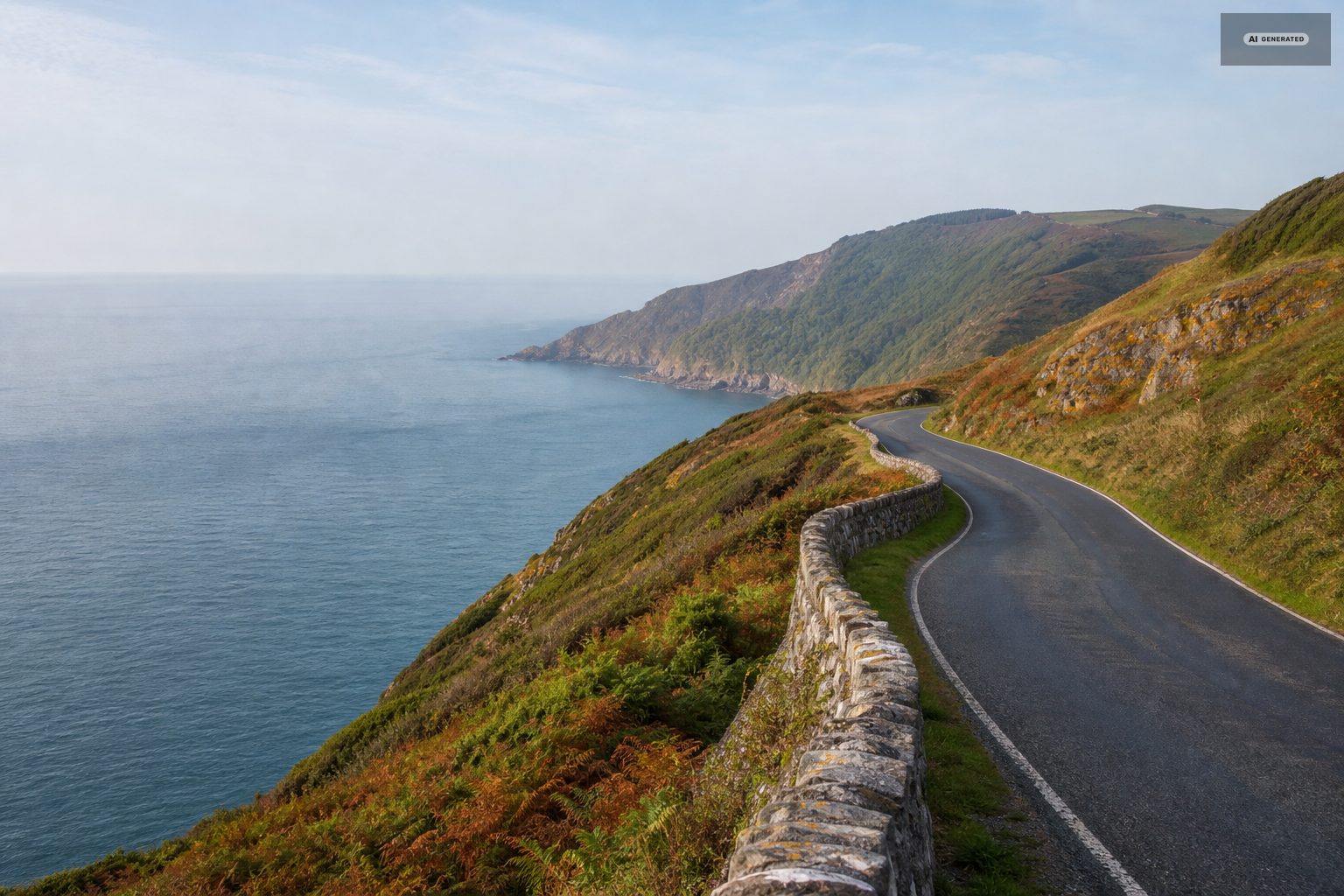
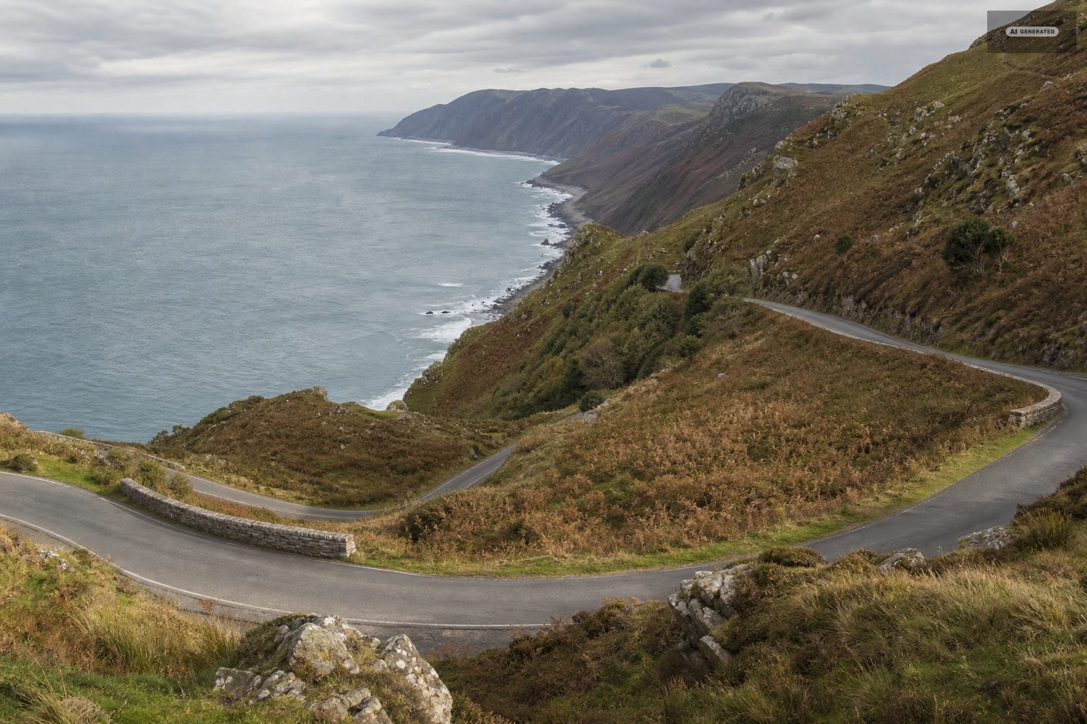
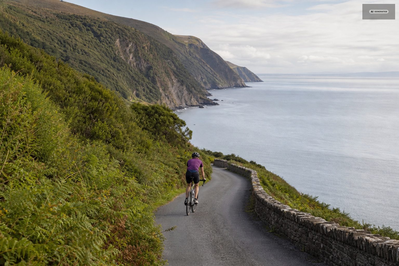
Countisbury Hill, out of Lynmouth to the east, is a sustained 1 in 4. Porlock Hill, further along the same coast, is the same gradient with hairpins and a longer reputation. The Porlock toll road offers a gentler, wooded alternative for a small charge and is the civilised way to gain the same height. Westward, the road out through the Valley of the Rocks towards Lee Bay and Woody Bay is undulating rather than brutal and is the pleasanter direction for a shorter ride.
The A39 west towards Blackmoor Gate climbs steadily out of Barbrook and then runs along the top with long views. It carries more traffic than the lanes but it is the practical link to everywhere else.
-
AI-generated image 02
Moorland lanes
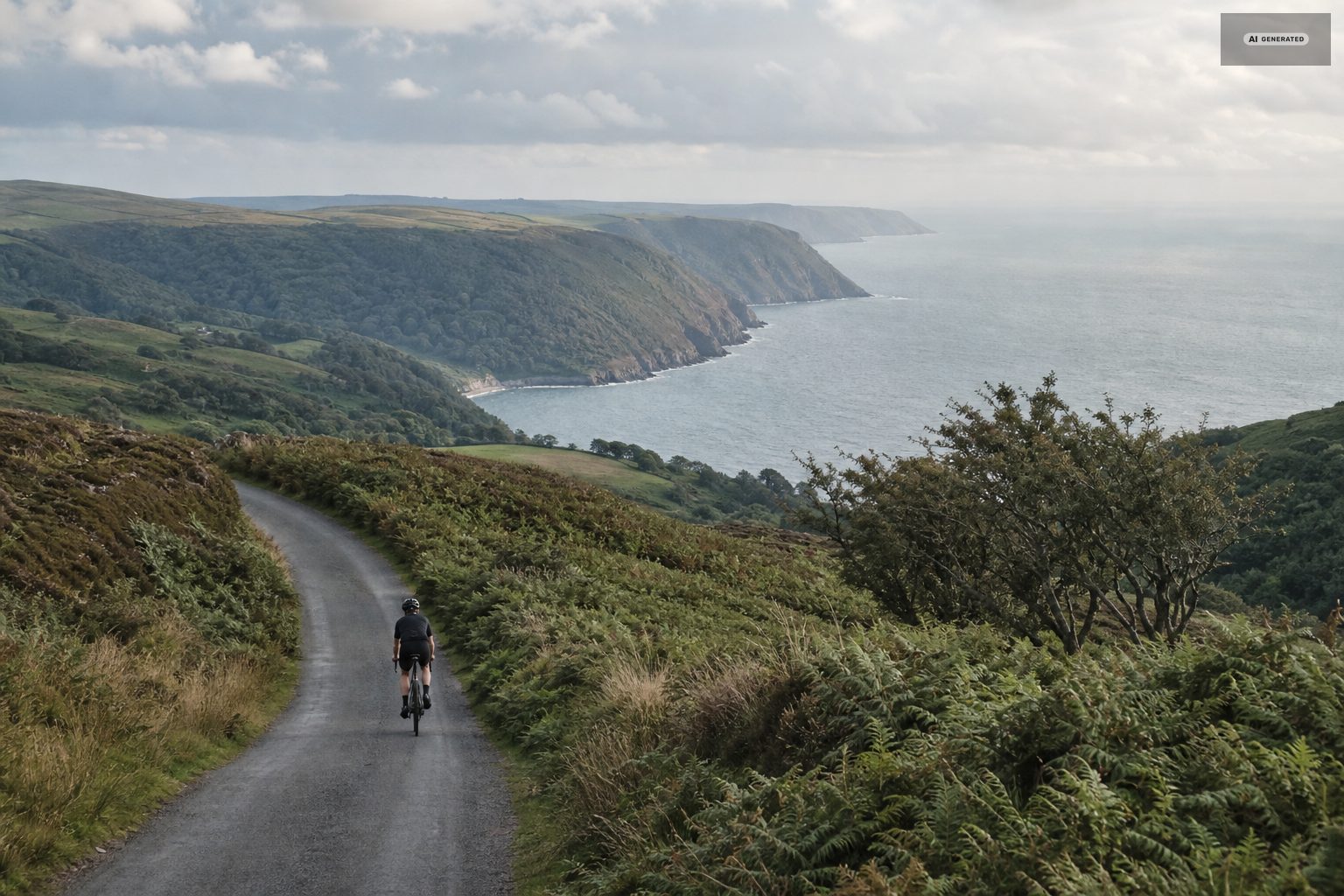
The interior of Exmoor is a network of single-track lanes between high banked hedges, with grass in the middle and gates across some of them. Simonsbath, Exford, Withypool and Brendon are the usual waypoints, and a loop taking in two or three of them makes a full day of genuinely quiet riding. Expect blind bends, sheep, and gradients that arrive without warning because the hedges hide the shape of the ground.
The lanes are the reason people come back. They run between hedge banks that are older than the roads themselves, and in early summer the banks are high enough to hide the view and full enough of foxgloves and campion that you stop noticing. Junctions are unsigned as often as not, and the honest advice is to carry a paper map as well as a phone, because the combes swallow signal for long stretches.
Traffic is light but not absent. Farm vehicles use these lanes daily, and the passing places are cut for cars rather than for a group riding two abreast. The gates matter as well: several of the moorland roads cross open grazing, and a gate left open puts sheep or ponies on the tarmac.
-
AI-generated image 03
Traffic-free riding
The Tarka Trail, on the old railway alignment out of Barnstaple, is the region's flat, traffic-free route - a long, easy surfaced path along the estuary. It is about twenty miles away and is the answer for a family day or a recovery ride. Hire is available at the Barnstaple end.
The Tarka Trail is the obvious family ride, but it is not the only traffic-free option within reach. Shorter stretches of former railway and estuary path run out of Barnstaple in both directions, and the surface is firm enough for a trailer or a tag-along the whole way. Because the alignment is a railway, the gradient never exceeds what a steam engine could pull, which is the practical definition of flat.
From Lynmouth the trail needs a car or the bus, and the honest sequence is to drive down off the moor in the morning, ride the estuary section, and come back over Countisbury in the afternoon. Riding to the trail and back is a day in itself, and most of it is climbing.
-
AI-generated image 04
Off-road on Exmoor
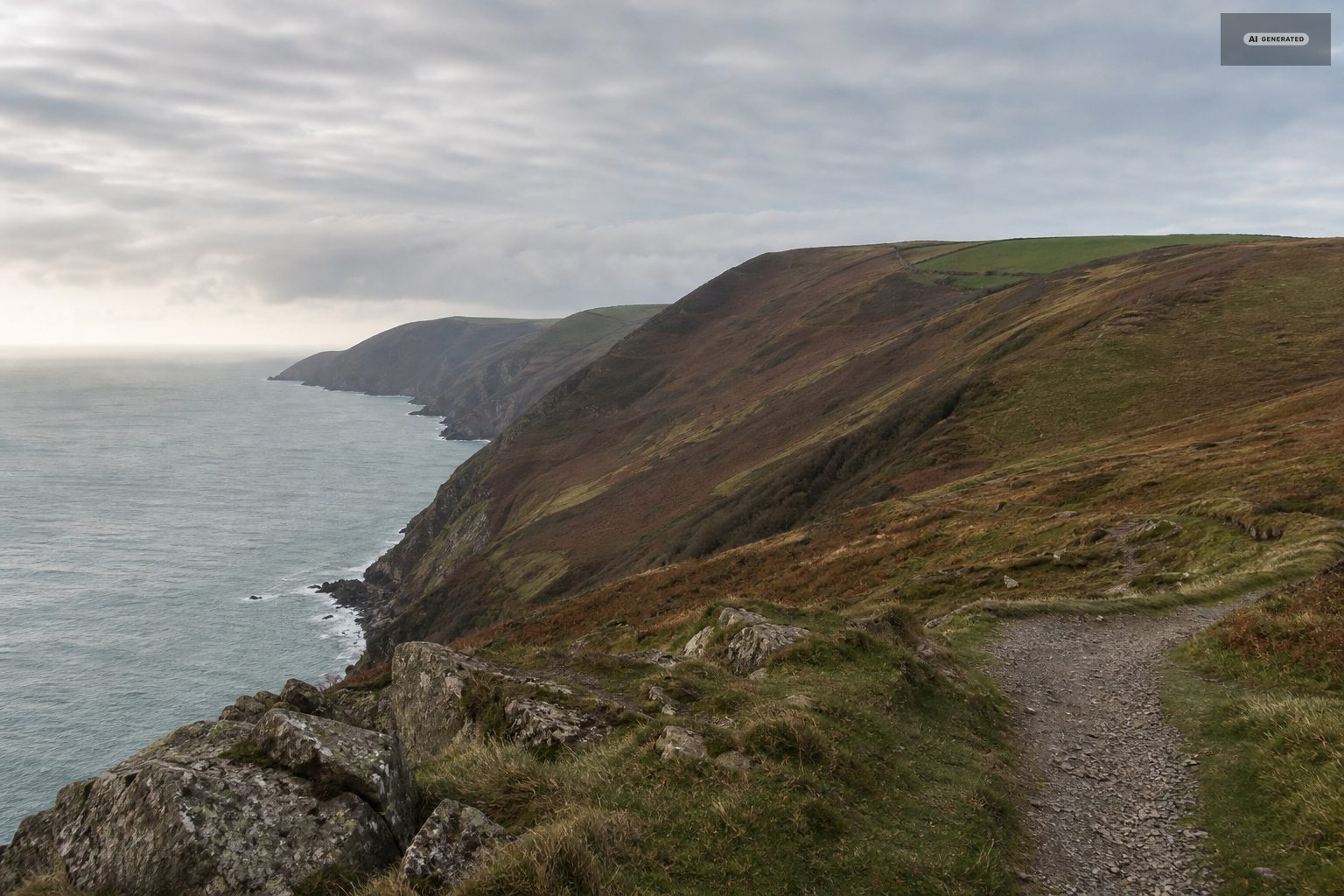
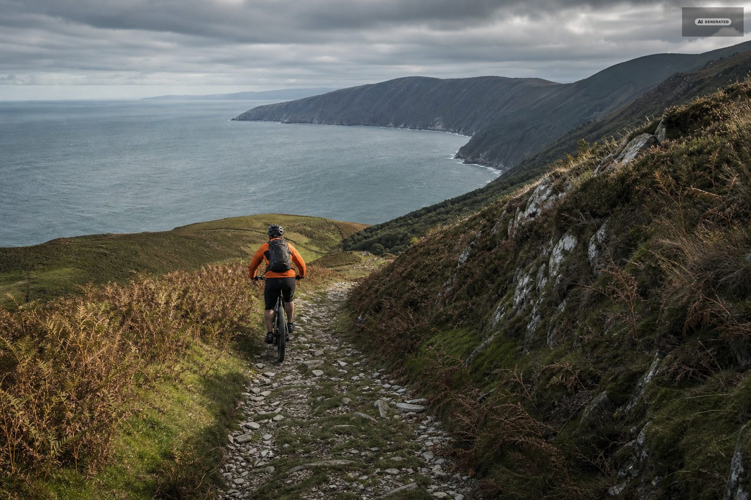
Exmoor has an extensive bridleway network and most of it is rideable on a mountain bike or a capable gravel bike. Surfaces range from firm moorland track to deep mud in the combes after rain, and the descents into the valleys are steep and often loose. Ford crossings are common and can be impassable when the rivers are up. Take a paper map: signal in the combes is unreliable and the bridleway junctions repeat.
Surfaces change with the weather more than they change with the season. A bridleway that is firm gravel in May can be hock-deep in a combe by November, and the moorland tracks hold water long after the rain has stopped. Rock is the other constant: the loose slate and gritstone on the steeper descents rewards a bike with real tyres and punishes one without.
-
AI-generated image 05
Practical notes
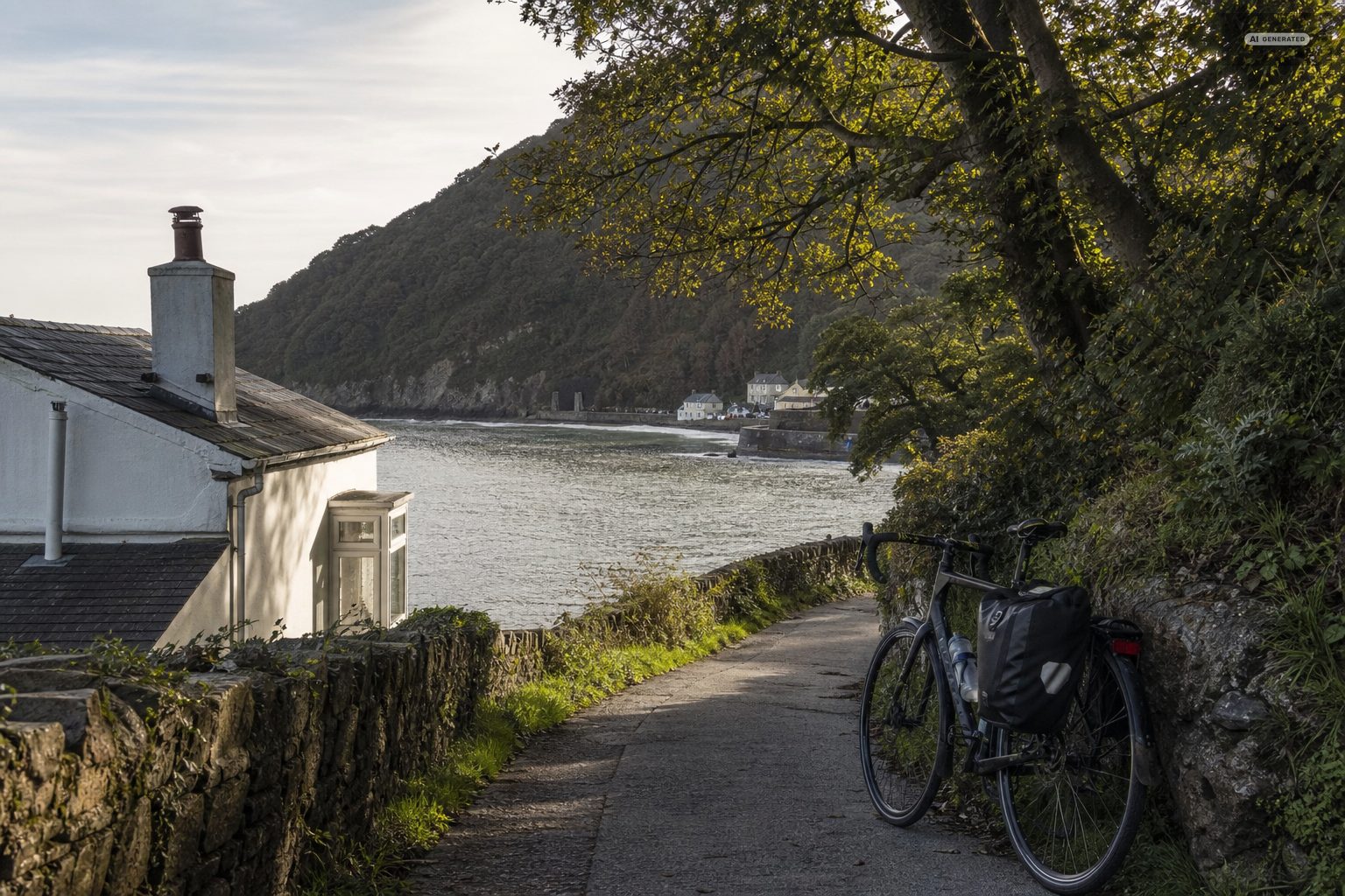
Check your brakes before you come. The descents here are long, steep and often wet, and rim brakes on a loaded bike are not enough for Countisbury or Porlock. Carry a spare tube and the means to fit it - there is no bike shop in either village. Lights matter even in summer because the lanes are hedged and dark. And plan the day so the last climb is not the one back up to Lynton if you can help it: the cliff railway carries bikes only at the operator's discretion, so treat the road as the default.
Two habits make the difference here. The first is to plan around the climbs rather than the distance, because twenty miles with two 1-in-4 ascents is a longer day than forty on the flat. The second is to carry more than you think: there are long stretches of moor with no shop, no tap and no shelter, and the weather on the top is not the weather at the harbour.
Lights are worth having even in summer. The combes are wooded and deep, the lanes are sunken, and dusk arrives in them a good half hour before it arrives on the open moor.
Common questions
Is Lynton and Lynmouth good for cycling?
Very good, but hilly. Every route out of Lynmouth climbs, and two of the local hills are 1 in 4. Confident riders get quiet lanes, long moorland loops and an extensive bridleway network; casual riders are better served by the Tarka Trail near Barnstaple.
How steep is Countisbury Hill on a bike?
About 1 in 4, sustained, straight out of the harbour. It is a serious climb and a serious descent. The Porlock toll road is the gentler way to gain similar height further east.
Where can you hire a bike near Lynton?
There is no hire in the villages themselves. The nearest reliable options are at the Barnstaple end of the Tarka Trail, about twenty miles away.
Can you take a bike on the cliff railway?
Only at the operator’s discretion and subject to space, so do not plan a route that depends on it. Treat the road between the villages as the default.