Before you set out
Checking conditions at Lynmouth before you travel
Two altitudes, two climates, and a tide with one of the largest ranges in the world. Worth five minutes before you set off.
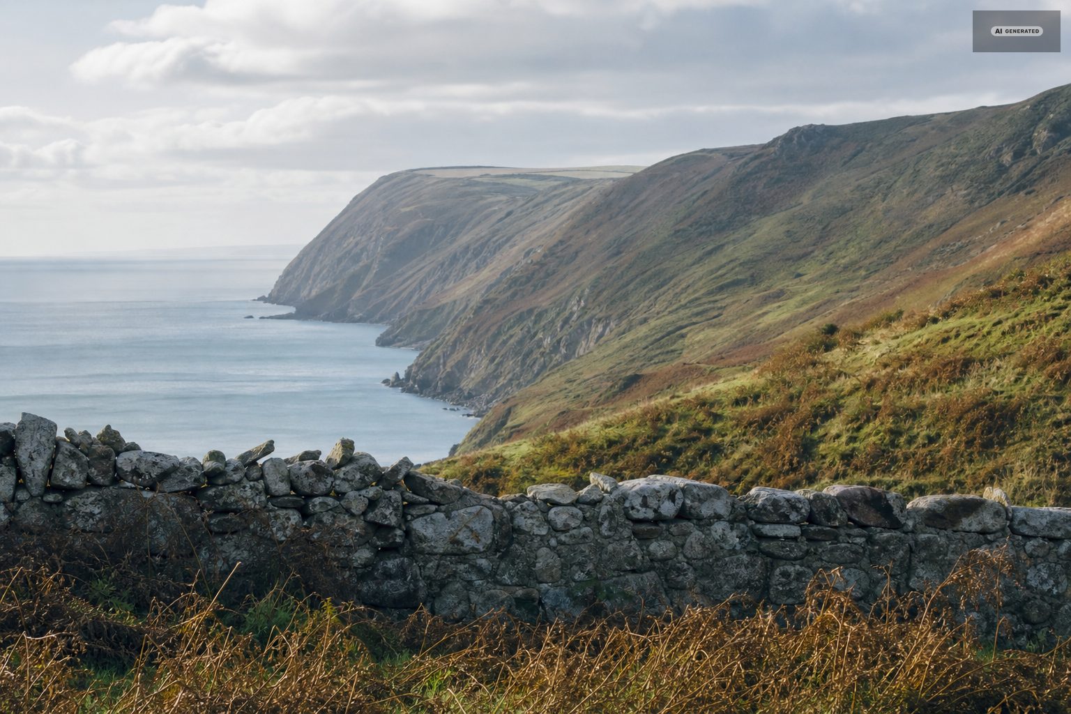
The single most useful thing to understand about weather here is that there are two of them. The harbour sits at sea level in a sheltered gorge; the moor behind it runs above a thousand feet and is fully exposed. They can differ by ten degrees and by an entire kind of day.
-
AI-generated image 01
Coast and moor
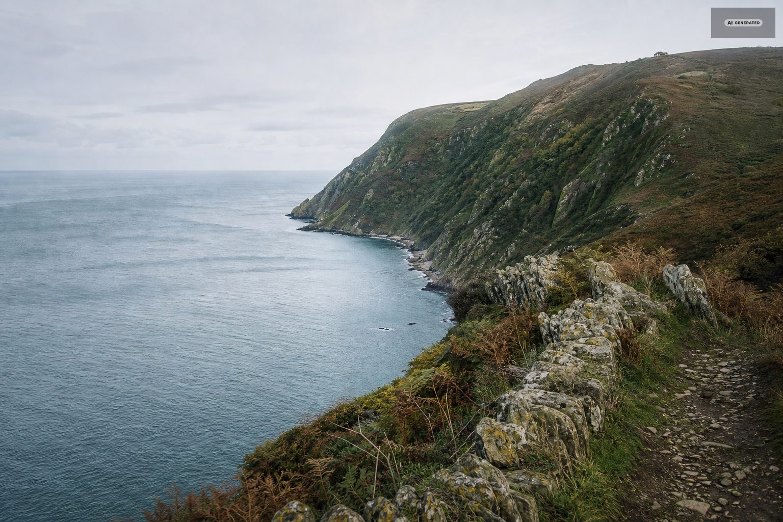
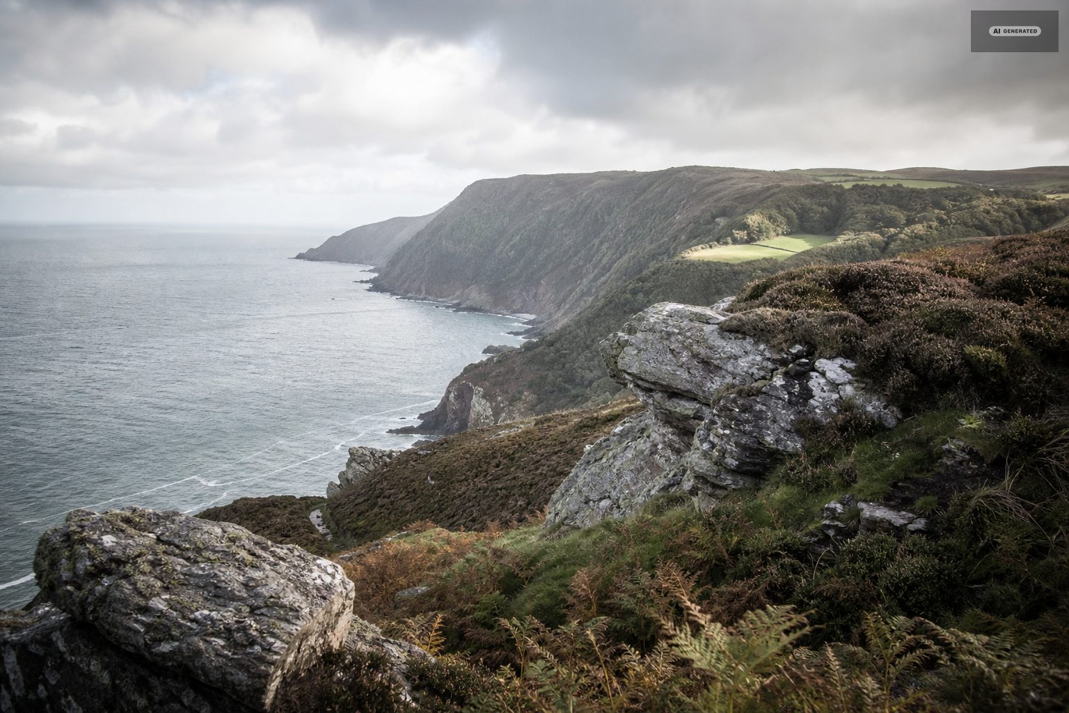
Cloud sits on the high ground when the coast is clear, which is the common case. A forecast showing rain for the area often means rain on the tops and a bright, blustery day at the harbour. Occasionally it works the other way: sea fog fills the gorge and the moor above is in sunshine.
For anything on the open moor - the Two Moors Way, Dunkery, the Doone country - use the upland forecast and add a layer. For the harbour, the Watersmeet path and the coast path, the coastal one is enough. See walking.
-
AI-generated image 02
The tide
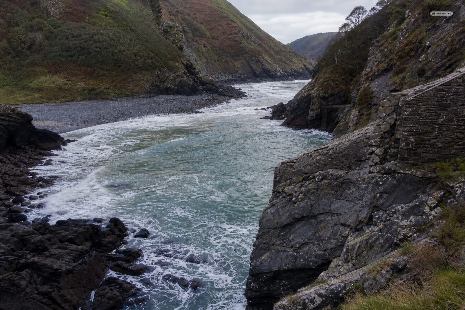
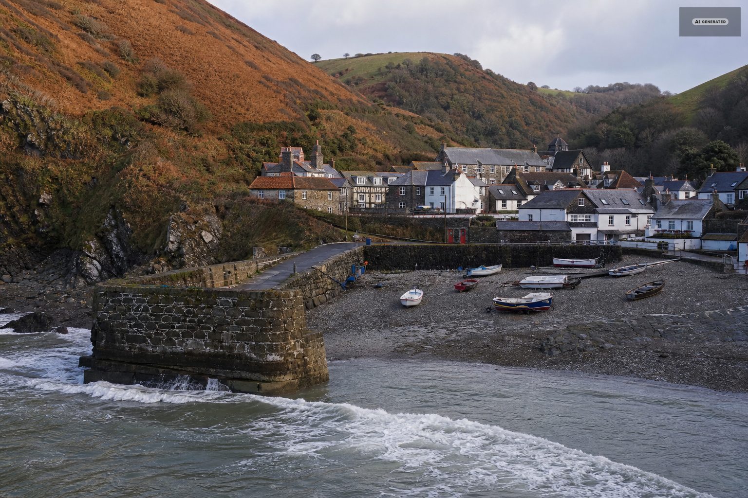
The Bristol Channel has one of the largest tidal ranges in the world, and it matters here more than the weather does. The water crosses the flats quickly, cuts off the base of the cliffs, and changes what the harbour looks like completely between one visit and the next. Check a tide table before any shoreline walking, and before photographing the harbour, which is a very different picture at high and low water. See swimming for the safety side.
The tidal range in the Bristol Channel is among the largest anywhere, and at Lynmouth the difference between high and low water rearranges the whole foreground: the harbour empties to mud and boulder, the boats settle, and the shoreline walk east appears and then disappears again within hours. Anyone planning to be on the shore should look at the tide table as well as the camera.
-
AI-generated image 03
The rivers
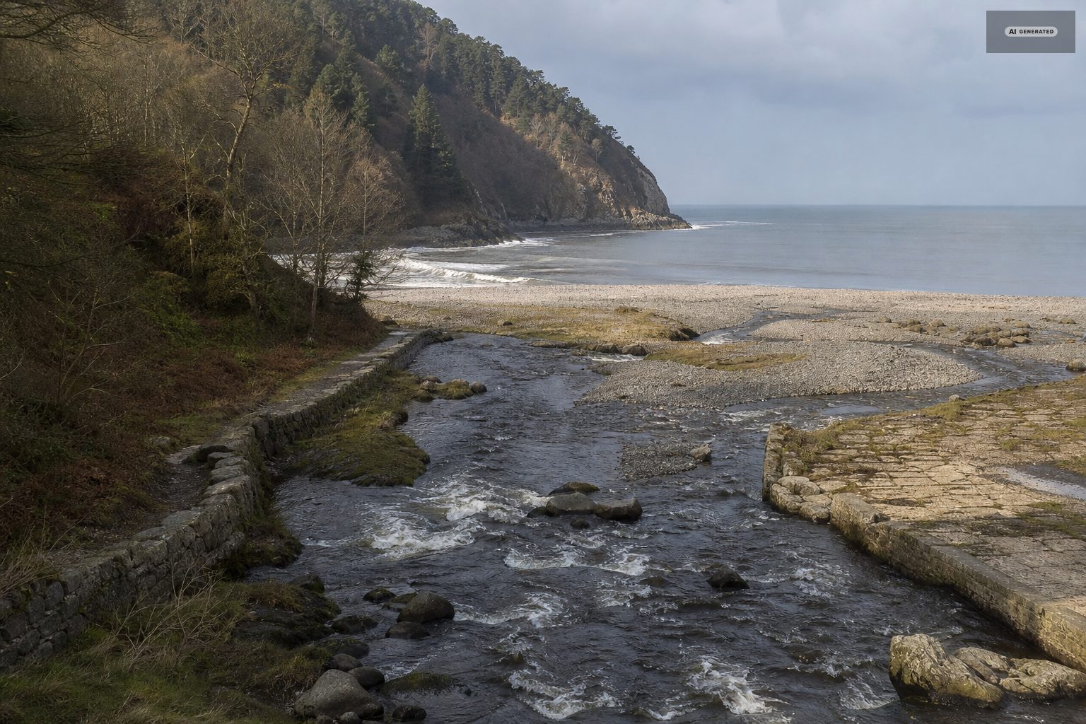
The East and West Lyn are spate rivers. Heavy rain on Exmoor puts them up within hours and they drop nearly as fast, which affects river swimming, fishing and how loud a riverside room is. It is also the mechanism behind the 1952 flood, and the reason the channel through Lynmouth is as wide and walled as it is.
The rivers are the fastest-changing thing in view. After rain on the moor the East and West Lyn come down loud and brown within hours, and a camera pointed at the harbour shows that plume of fresh water pushing out into the sea long after the rain has stopped. It is also the most reliable signal that the river walks will be muddy and the pools unswimmable.
-
AI-generated image 04
The roads
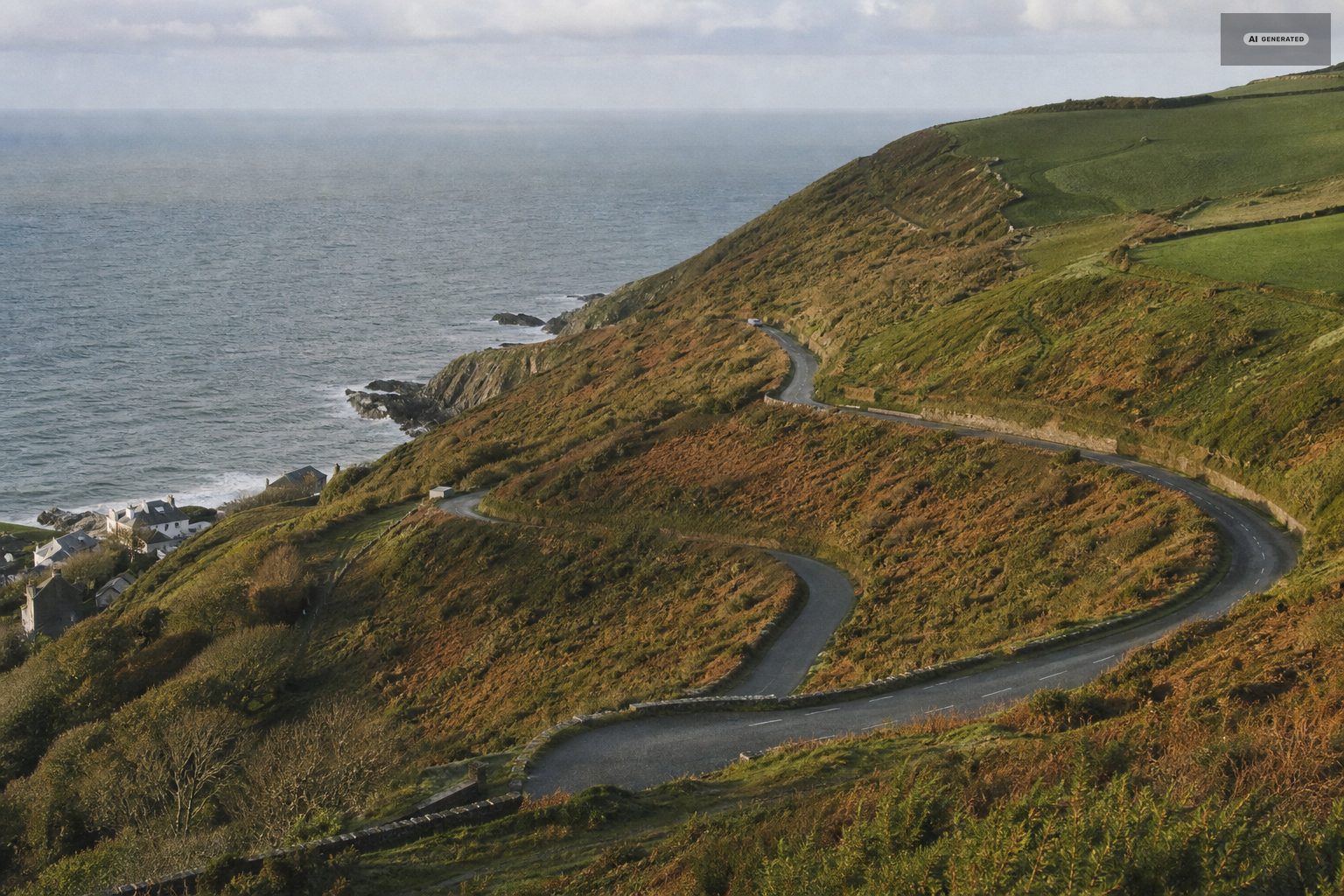
Countisbury Hill and Porlock Hill are both around 1 in 4. In ice or thick fog they are a genuine consideration, and the A39 from Barnstaple becomes the sensible approach - see getting here. Snow is uncommon at sea level and not uncommon on the moor, and the moorland lanes are among the last things to be cleared.
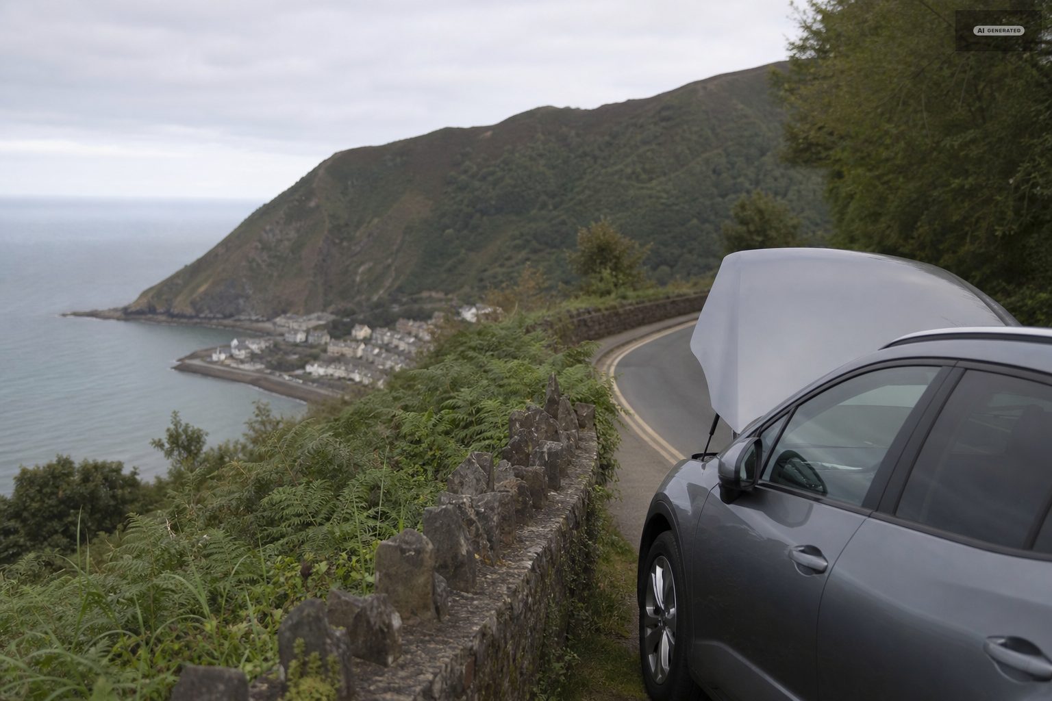
In winter the roads over the top matter more than the weather at the harbour. Countisbury and the moor roads collect ice and, occasionally, snow when the villages at sea level have neither, and a view of the cliff top tells you more about the drive in than a forecast for the postcode does.
-
AI-generated image 05
The seasons at the harbour
Spring brings the woods into leaf along the East Lyn and the longest useful daylight before the crowds. Summer is warm, busy through the middle of the day, and the season when the gorge is coolest and most welcome. Autumn is the best of it - colour in the oak woods, water in the rivers, warm sea and quiet streets. Winter is short-dayed, often wild, and the time when the dark skies above the villages are at their best.
The harbour reads differently through the year. Spring brings the boats back and the light up the valley; summer fills the Esplanade from mid-morning; autumn brings the big tides and the first real swell of the season; and in winter the village is largely its own again, with the tower floodlit against the cliff and very little moving.
-
AI-generated image 06
Practical checks before travelling
Confirm the cliff railway hours if you are relying on it, particularly outside the main season. Confirm accommodation and eating options in winter, when several close for part of the year. And allow more driving time than the mileage suggests in any conditions at all.
Three checks cover most of it: the state of the sky over the cliff top rather than over the harbour, the tide time if the plan involves the shore, and the river level if the plan involves the East Lyn. None takes more than a minute, and between them they decide what kind of day is actually available.
Common questions
What is the weather like in Lynton and Lynmouth?
Milder and more sheltered at the harbour than on the moor above, which is often several degrees colder and under cloud when the coast is clear. Check both forecasts before deciding on a day.
Do I need to check the tide at Lynmouth?
Yes, for any shoreline walking. The Bristol Channel has one of the largest tidal ranges in the world and the water comes in quickly across the flats.
When is the best season to visit?
Autumn - colour in the oak woods, water in the rivers, the warmest sea of the year and quiet streets. Spring is a close second for walking.
Are the roads into Lynmouth affected by winter weather?
Countisbury and Porlock hills are about 1 in 4 and are a real consideration in ice or fog. Use the A39 from Barnstaple instead. Snow is uncommon at sea level and more common on the moor.