Finding the place
Satellite navigation on Exmoor: what it gets wrong
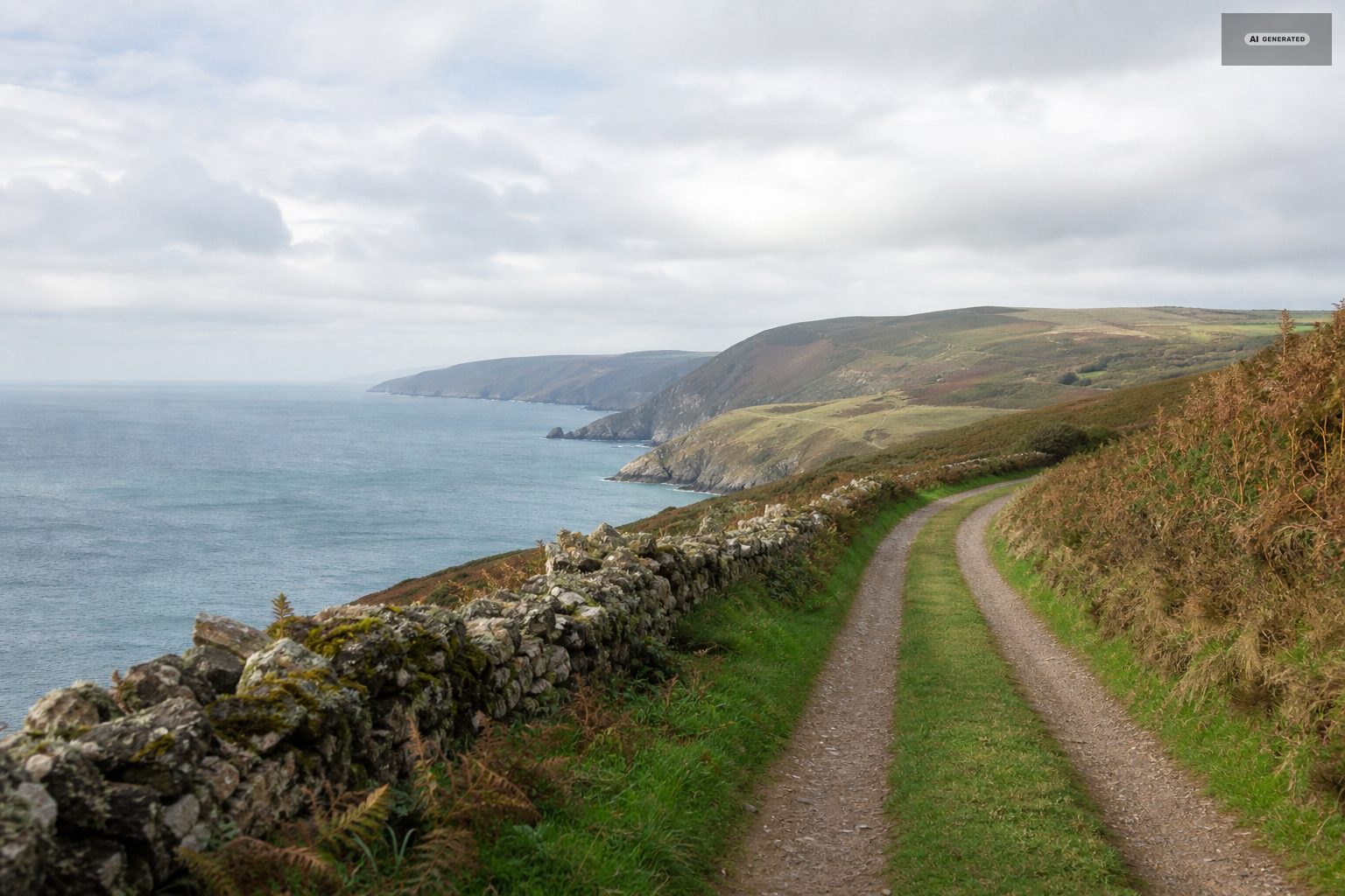
A postcode here can cover a square mile of moor, and the shortest route is frequently a farm track.
Satellite navigation is optimised for distance and time, and on Exmoor both measures mislead. A route that looks two miles shorter may be a single-track lane with grass down the middle, a ford, and a gradient the device knows nothing about.
The two problems
Postcodes cover too much ground
A rural postcode can take in a scattering of farms across a wide area. Entering one gets you to the general vicinity and then leaves you looking at three unmarked lanes. For anywhere outside the villages, ask the owner for directions or a map reference rather than relying on a postcode alone.
The shortest route is often the worst
Devices will happily send a car - or a caravan - over Countisbury Hill or Porlock Hill, both about 1 in 4, or down a farm track that is legally a road and practically a problem. Set the route to the A39 from Barnstaple via Blackmoor Gate and follow it, particularly if you are towing or driving something long. See getting here.
What to do instead
- Download the map area before you travel. Signal in the combes is unreliable and a device that loses its connection halfway down a lane is worse than no device.
- Carry a paper map. An Ordnance Survey sheet for the area is useful for walking anyway.
- Ask for written directions. Owners of moorland properties have a set that works, usually built around landmarks rather than road numbers, because the roads are frequently unsigned.
- Note the last landmark. Knowing that the turning is a mile past a particular inn is worth more than a postcode.
- Arrive in daylight the first time. The lanes are unlit and the junctions look identical after dark.
If you are towing
Set the vehicle profile if your device supports it, and check the route before setting off rather than following it blind. The A39 from Barnstaple is the approach for any caravan or motorhome, and the Porlock toll road is the gentle alternative if you are coming from the Somerset side - see camping and caravan sites.
The approach roads, in order of preference
- A39 from Barnstaple via Blackmoor Gate. Two lanes for most of it, no exceptional gradient, and it drops into Barbrook above Lynton. Use this by default and always when towing.
- A39 coast road from Minehead via the Porlock toll road. Longer and quieter, avoids the worst of Porlock Hill, and the scenery is the best of any approach.
- A39 coast road over Porlock Hill and Countisbury. Spectacular and steep. Fine in a normal car driven in a low gear, wrong with anything behind you.
- Moorland lanes from the south. Beautiful and slow. Only worth it if you have the time and the vehicle is small.
Reading the lanes
Exmoor lanes are single track with passing places, high banked hedges and blind crests. The convention is that whoever is nearer a passing place reverses, and that a raised hand is thanks rather than an argument. Farm traffic and stock have priority in practice. Grass down the middle of a lane means it is little used, not that it is closed - but it does mean the surface underneath may be poor.
Fords are common on the smaller lanes. Most are shallow for most of the year and impassable after heavy rain on the moor, and the depth board is worth believing.
Common questions
Is satellite navigation reliable on Exmoor?
Not on its own. Rural postcodes cover large areas, signal fails in the combes, and shortest-route logic will send you over 1 in 4 hills or down farm tracks. Download the map area, carry a paper map and get written directions for anywhere off the main roads.
Which road should I use to get to Lynton and Lynmouth?
The A39 from Barnstaple via Blackmoor Gate by default, and always when towing. The coast road from Minehead is more scenic; take the Porlock toll road rather than Porlock Hill itself.
What are the passing-place rules on Exmoor lanes?
Whoever is nearer a passing place reverses to it. Farm traffic and livestock have priority in practice, and a raised hand is a thank-you.
Are there fords on the roads around Lynton?
Yes, on the smaller lanes. Most are shallow for most of the year and impassable after heavy rain on the moor. Believe the depth board.