Before the villages
Earlier peoples and their monuments on Exmoor
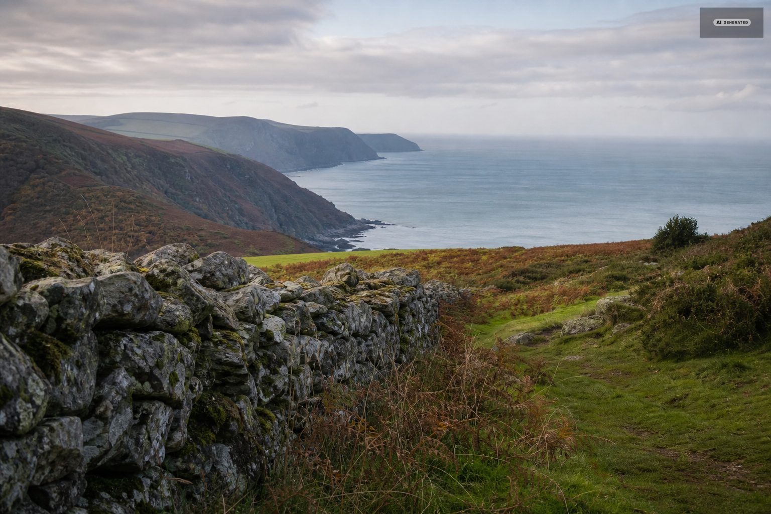
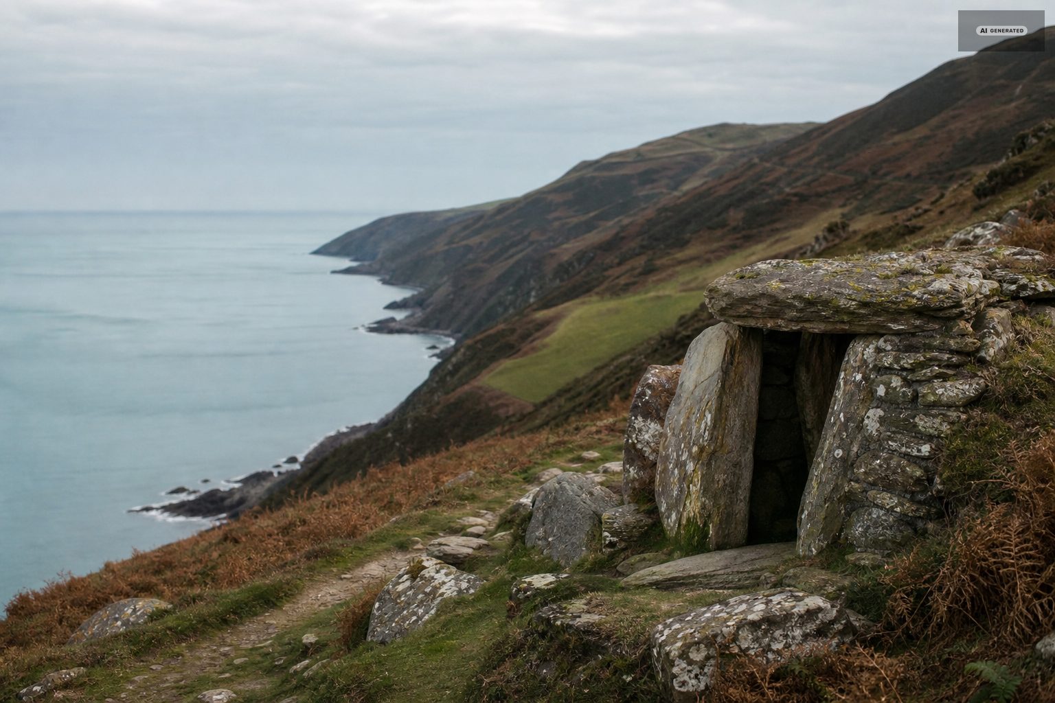
The moor above the villages is one of the most heavily monumented landscapes in England, and almost none of it is signposted.
People have been on this moor for a very long time, and because Exmoor was never intensively ploughed, a great deal of what they left is still where they put it. The catch is that most of it is low, unmarked and easy to walk past.
-
AI-generated image 01
The earliest traces
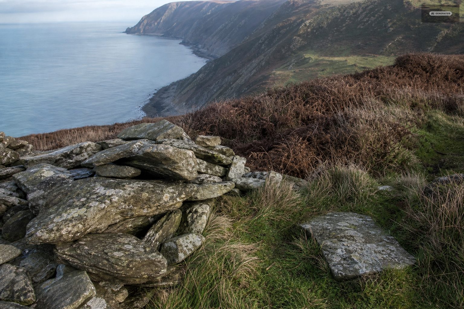
Flint scatters on the higher ground record hunting parties working the moor after the last glaciation, when the tree line was different and the open ground was used seasonally. There is nothing to see on a walk, but it establishes the timescale: this landscape has been used continuously for thousands of years.
The earliest evidence on Exmoor is thin and scattered - worked flint turning up in ploughsoil and on eroded paths rather than sites you can visit. It marks people moving through and hunting rather than settling, which is what the moor was for a very long time before anyone tried to farm it.
-
AI-generated image 02
The Bronze Age
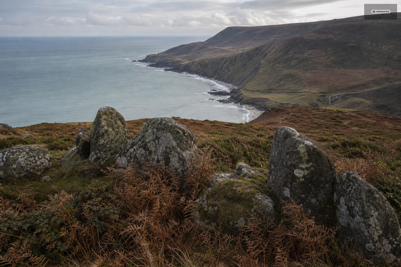
This is what dominates the moor. Round barrows sit on the skylines - deliberately, so they were visible from below - in groups and in lines along the ridges. Cairns, cists and boundary works go with them. Together they represent centuries of a society organising a landscape for the dead and for grazing at the same time.
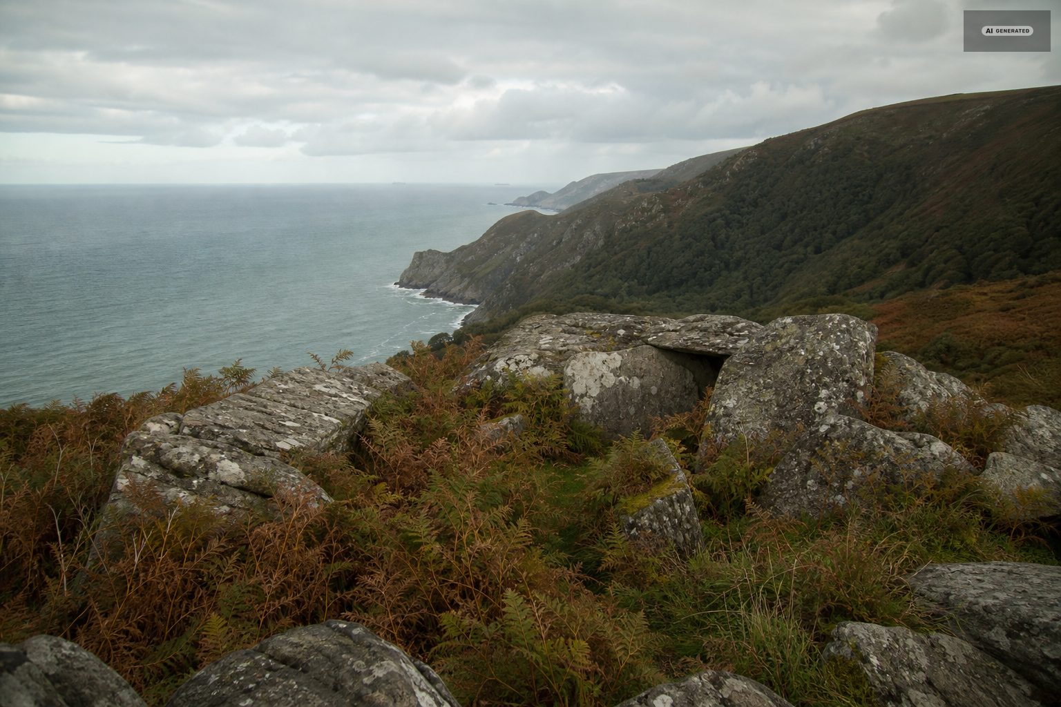
Exmoor also has something unusual: its stone settings. Where Dartmoor has tall dramatic rows, Exmoor has small, low arrangements of stones, often no higher than the heather, set out in rows, rectangles and quincunxes. They are unique to this moor, nobody knows what they were for, and they are extraordinarily easy to miss. Once you have seen one you start seeing them.
-
AI-generated image 03
The Iron Age
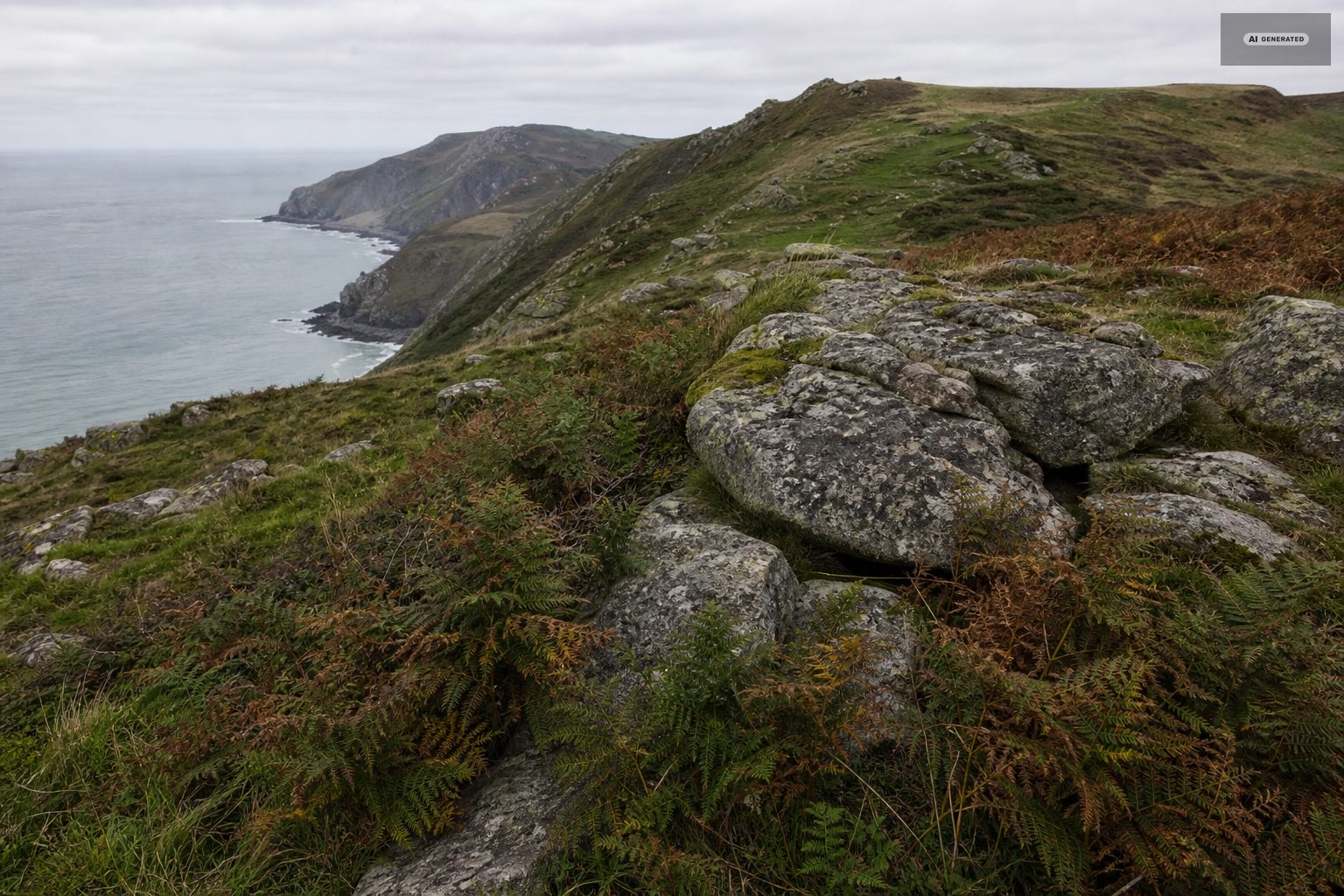
Hill forts occupy the defensible ground inland, and promontory forts sit on the coastal headlands, using the cliffs on three sides and a bank and ditch across the neck. The coast path passes several. From the ground they read as a bump and a dip; from the air they are unmistakable.
The Iron Age is the most legible period on the ground here. Hillforts and enclosures sit on the spurs above the combes, chosen for the view and the defensible slope, and their banks and ditches still read clearly under the grass. Countisbury's promontory earthwork is the obvious local example, cut across the neck of the headland where the ground does most of the work.
-
AI-generated image 04
After the Romans
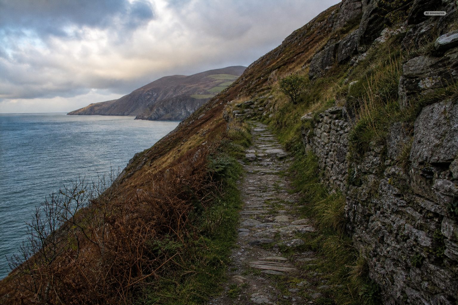
The Romans left little on Exmoor beyond a couple of small coastal signal stations - this was not ground worth holding. What followed was the slow establishment of the farming pattern still visible today: scattered farmsteads in the combes, common grazing on the high moor, and the parish churches that appear in Domesday in 1086, including those at Lynton and Lynmouth. See the history of the villages.
The Roman presence on this coast was military and slight - signal stations watching the Bristol Channel rather than villas and towns - and what followed is largely invisible until the field pattern and the parish churches appear. The boundaries walked today between farms on the moor edge are, in places, considerably older than anything standing on them.
-
AI-generated image 05
Finding them
An Ordnance Survey map is the tool. Monuments are marked, paths run near many of them, and the moor is open access in large parts. Without a map you will not find the stone settings at all, and with one you will find more than you expected.
Go in low light. The barrows and banks are shallow, and morning or evening sun across the ground reveals earthworks that are invisible at midday. Winter, with the bracken down, is better than summer for the same reason.
Almost none of these sites are signposted, and that is part of what has preserved them. The practical way to find them is an Ordnance Survey map, a dry spell so the ground is walkable, and low light: a standing stone or a bank that is invisible at noon shows up clearly at either end of the day, when the shadows do the work.
-
AI-generated image 06
Looking after them
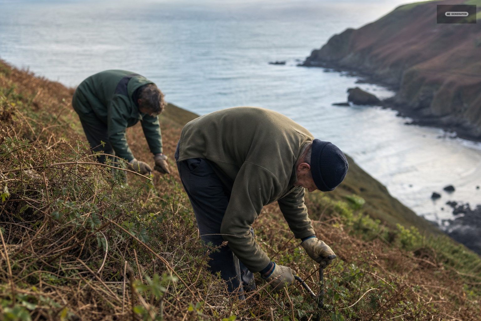
Many of these are scheduled monuments and all of them are fragile. Do not dig, do not move stones, do not build cairns on top of existing ones, and keep off the barrow mounds themselves where paths run alongside. Metal detecting on scheduled ground is an offence.
The rule is simple and it matters: look, photograph, and leave everything where it is. Most of these sites are scheduled monuments, metal detecting on them is illegal, and the damage that closes a site to everyone is usually done a handful of stones at a time by people who meant no harm.
Common questions
What prehistoric sites are there on Exmoor?
Bronze Age barrows and cairns along the ridges, the distinctive low Exmoor stone settings, Iron Age hill forts inland and promontory forts on the coastal headlands.
What are Exmoor stone settings?
Small, low arrangements of stones - often no higher than the heather - set out in rows, rectangles and other patterns. They are unique to Exmoor and their purpose is unknown.
How do you find the monuments on Exmoor?
With an Ordnance Survey map. Most are unmarked on the ground. Go in low morning or evening light, and in winter when the bracken is down, so the earthworks show.
Are the Exmoor monuments protected?
Many are scheduled monuments. Do not dig, move stones or build cairns, and keep off the barrow mounds. Metal detecting on scheduled ground is an offence.