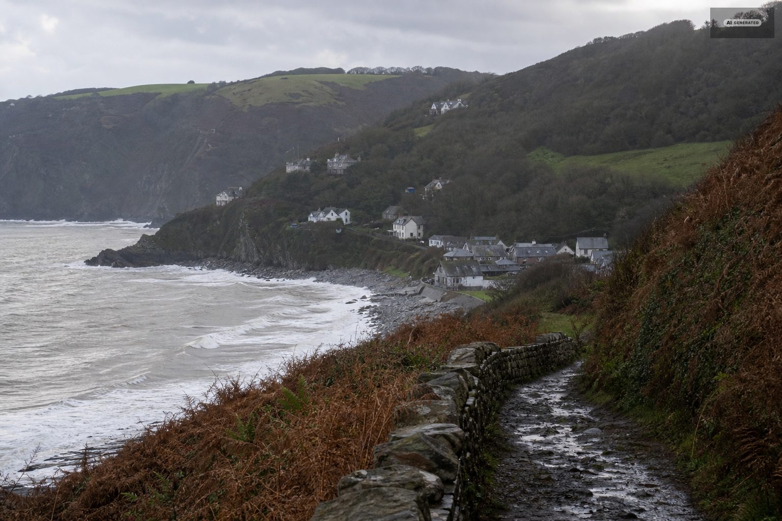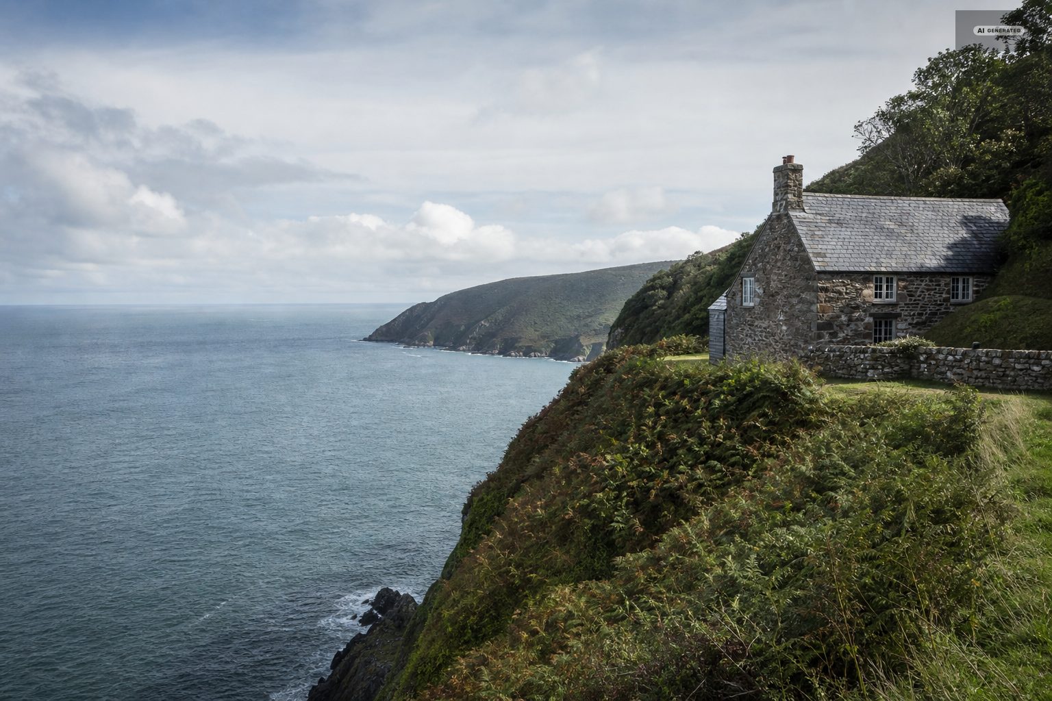
Devon, August 1952
The Lynmouth flood of 1952: the night the Exmoor rivers took the village, and the memorial that records it
Nine inches of rain fell on Exmoor in a single day. By morning the harbour village at the bottom of the cliffs had been rearranged by water, and 34 people were dead.
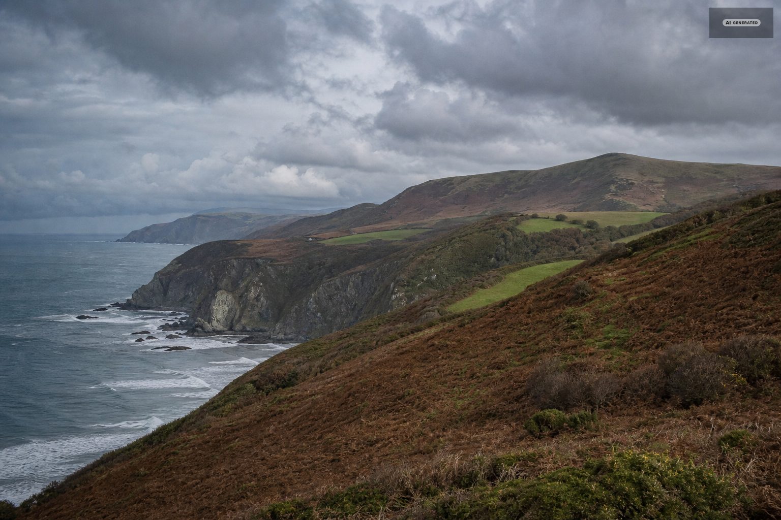
The Lynmouth flood of 1952 is the event this village is still shaped by, and the geography explains why. Lynmouth sits where two rivers finish. The East Lyn comes down through the woods from Watersmeet; the West Lyn drops off the moor in a much shorter, much steeper line. They join a few hundred yards from the sea, and the village was built around that junction because the junction is the only flat ground there is. For most of its history that arrangement was picturesque. On one night in August 1952 it was catastrophic.
-
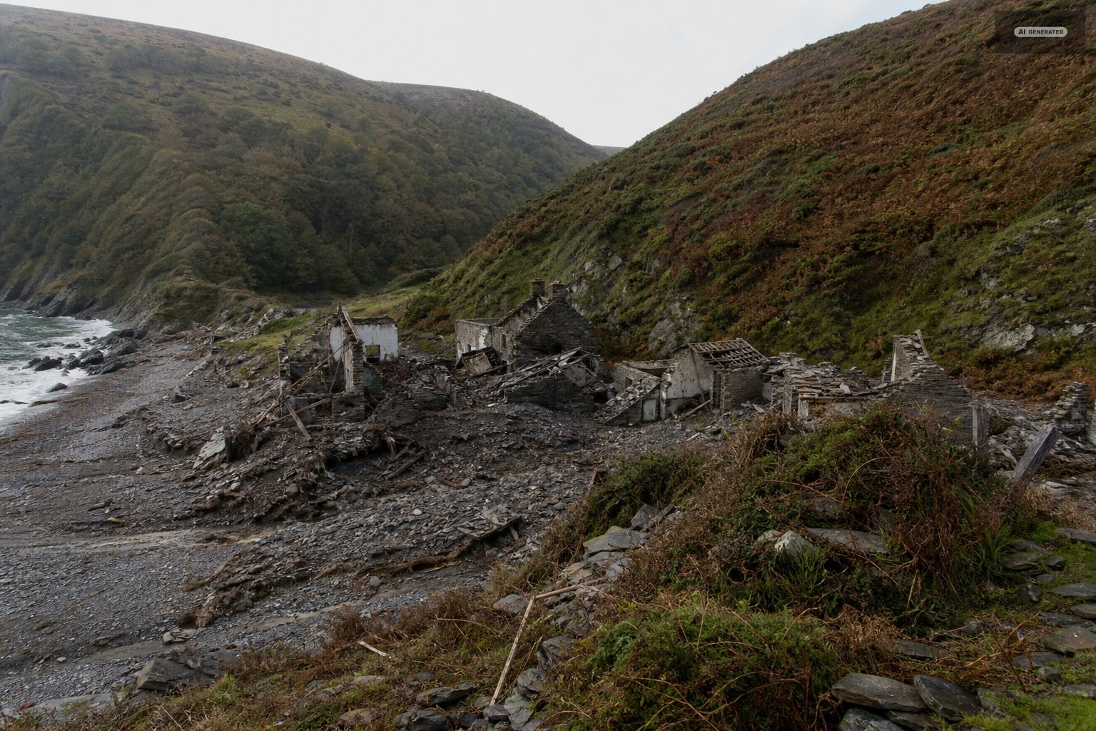
AI-generated image 01
What happened on the night of 15 August 1952
The summer of 1952 had already been wet. The ground on Exmoor was saturated by mid-August, which meant it could absorb almost nothing more. On 15 August a storm settled over the moor and dropped around nine inches of rain in twenty-four hours - a quantity that, falling on dry ground, would have been remarkable, and falling on ground that could take none of it, went straight into the rivers.
Both Lyns rose through the evening. The West Lyn, with the shorter and steeper catchment, responded fastest and hardest. It carried down not just water but everything the water could lift: trees from the valley sides, and boulders, some of them weighing several tons. Debris jammed against bridges, the bridges held for a while, and then they gave way all at once, releasing the water they had been damming in a series of surges.
By the small hours the West Lyn had abandoned its channel entirely and was running down the line of the village street. Buildings went into the sea. Others were left standing in a new river bed. When it was light enough to see, boulders lay in what had been front rooms, and the shape of the village had changed.
Thirty-four people died. More than four hundred were made homeless, and a substantial part of the village had simply gone. No other single night in the recorded history of this coast did comparable damage, and the Lynmouth flood remains the reference point against which every later storm here is measured.
-
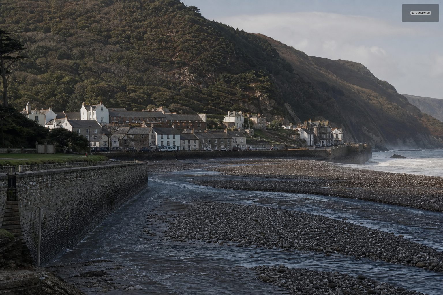
AI-generated image 02
Why the Lynmouth flood decided the shape of the rebuilding
The decision after 1952 was not to put Lynmouth back exactly as it had been. The West Lyn was given a new, wider, deliberately engineered channel with high dressed-stone walls, designed to carry a flood of the same size without leaving its course. That channel is the most visible thing about Lynmouth today, and the reason the village reads as unusually open along the river for a place otherwise squeezed between cliffs.
The Rhenish Tower on the harbour wall was one of the losses. Built in the nineteenth century to hold salt water for indoor bathing and later converted into a beacon, it took its name from a similar tower on the Rhine. It was destroyed in the flood and rebuilt in 1954, which is why the tower you photograph is both a genuine landmark and not the original stonework.
The village you walk through was laid out by the flood as much as by anyone who lived there.
-
AI-generated image 03
The cloud-seeding question
The flood is periodically linked to Royal Air Force cloud-seeding experiments carried out in the same period. The connection has been raised in documentaries and in print, and it is discussed openly in the village. It has never been established, and the meteorological explanation - a saturated moor and an exceptional storm sitting still over it - accounts for the rainfall without needing anything else. The Flood Memorial Hall presents the material and lets visitors weigh it.
What is documented is narrow: RAF rain-making experiments were conducted over southern England in that period, and the Lynmouth flood came at the end of a fortnight in which Exmoor was already saturated. Nine inches of rain on ground that could absorb nothing is sufficient explanation for what followed, and no inquiry has established a link. The story persists because the coincidence of dates is uncomfortable, not because the evidence closed.
-
AI-generated image 04
The flood memorial and what else to see in Lynmouth today
The Flood Memorial Hall
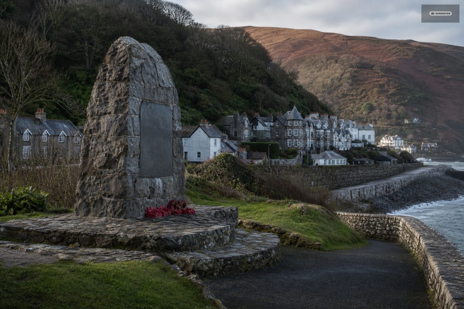
Directly across from the harbour, and the one place that sets out the Lynmouth flood in full. It holds a scale model of Lynmouth as it was before 1952, photographs of buildings that no longer exist with notes on where they stood, and first-hand accounts from people who were there. If you only do one thing connected to the flood, do this one first - the model makes the rest of the village legible.
The river channel
Walk up the West Lyn from the harbour. The scale of the walls and the size of the boulders still in the bed are the clearest surviving evidence of what came down. It takes about ten minutes and needs no equipment.
Glen Lyn Gorge
At the road junction near Lynmouth where the West and East Lyn meet. The gorge now runs a hydroelectric scheme on the same water that did the damage, alongside water-powered exhibits. It is the one place where the river's force is presented as something to play with rather than survive.
The harbour and the Rhenish Tower
Five minutes from the memorial hall, and the point from which most photographs of Lynmouth are taken.
-
AI-generated image 05
Walking the Exmoor catchment
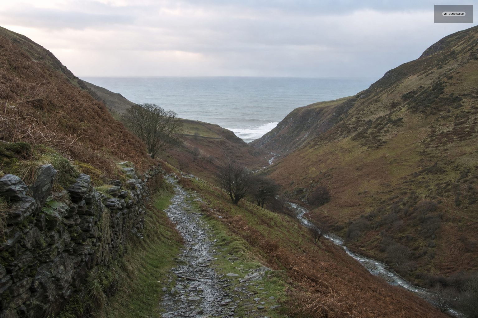
To understand why the flood happened it helps to walk upstream. The path from Lynmouth to Watersmeet follows the East Lyn through steep wooded gorge for about a mile and a half, and it makes the gradient obvious in a way that no map does. For the West Lyn side, the climb up to Lynbridge shows the shorter, sharper catchment that arrived first on the night. Both are covered in the walking guide.
Walking the catchment is the clearest way to understand the night. The two Lyns gather water off a wide, high, treeless plateau and deliver it into one narrow gorge within a few miles; standing at Watersmeet in ordinary weather, with both rivers already loud, the arithmetic of that August night is obvious in a way no account of it manages.
The boulders are the other record. Some of the stones sitting well above the present waterline weigh several tonnes and were carried, not rolled, and nobody has moved them since.
Common questions
How many people died in the Lynmouth flood?
Thirty-four people died on the night of 15-16 August 1952. More than four hundred were left homeless, and a large part of the village was destroyed outright.
What caused the Lynmouth flood of 1952?
Around nine inches of rain fell on Exmoor in twenty-four hours onto ground already saturated by a wet summer. The water went straight into the East and West Lyn. Debris dammed the bridges, and when the bridges failed the water arrived in surges rather than as a steady rise.
Can you still see damage from the 1952 flood in Lynmouth?
Not as ruins - the village was rebuilt. What you can see is the response: a widened, walled river channel through the middle of Lynmouth, boulders still lying in the bed, and the Rhenish Tower, which was destroyed in the flood and rebuilt in 1954.
Where is the Lynmouth flood memorial?
The Flood Memorial Hall stands opposite Lynmouth Harbour, a short walk from the bottom station of the cliff railway. It houses a pre-flood model of the village, photographs and survivor accounts.
Was the 1952 flood caused by cloud seeding?
It has been suggested, on the grounds that RAF rain-making experiments were being conducted in that period. No link has ever been established, and the rainfall is fully explained by the storm and the saturated moor. The Flood Memorial Hall sets out the argument and leaves the judgement to visitors.