Getting here and around
Getting to Lynton and Lynmouth
There is no station and no motorway. Every approach involves a hill, and two of them involve a serious one.
Lynton and Lynmouth sit on the northern coast of Exmoor, which is a long way from a motorway in every direction. That is a large part of why they are worth visiting and the whole of why the journey needs planning.
-
AI-generated image 01
By car
From the west
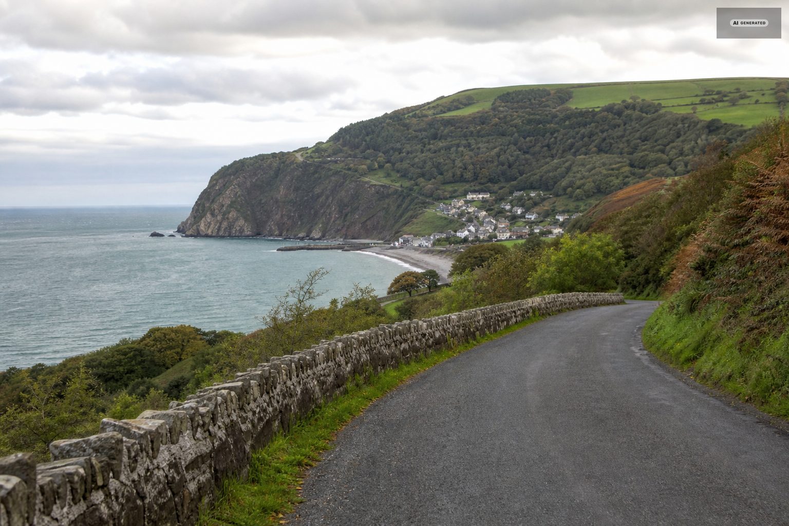
The usual route is the A39 from Barnstaple, about twenty miles, running through Blackmoor Gate and dropping into Barbrook above Lynton. This is the gentlest approach and the one to choose if you are towing or nervous about gradients.
From the east
The A39 coast road from Minehead and Porlock is the spectacular one. It also includes Porlock Hill, a sustained 1 in 4 climb with hairpins, and then Countisbury Hill dropping into Lynmouth at a similar gradient. Both are perfectly manageable in a normal car driven sensibly in a low gear, and both are hard on brakes coming down. There are toll alternatives to Porlock Hill that trade the gradient for a longer, gentler road through woodland.
From the M5
Leave at Tiverton for the western approach or at Bridgwater for the coast road. Either way, allow more time than the mileage suggests - the last twenty miles are single-carriageway A-road and moorland lanes.
-
AI-generated image 02
Parking
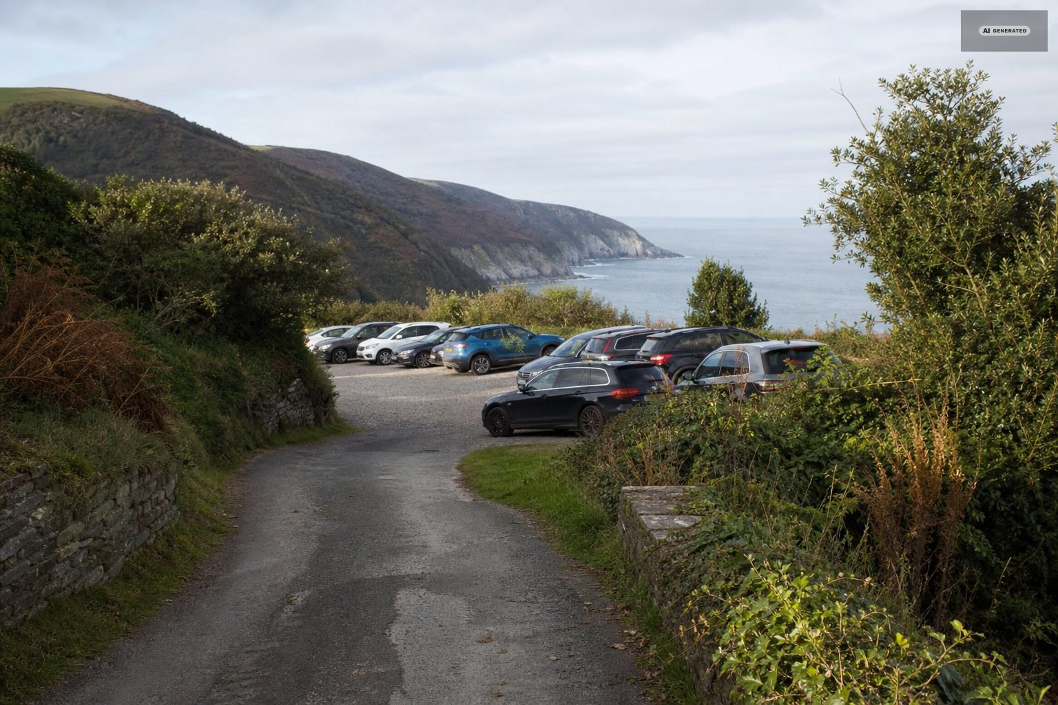
Both villages have car parks; neither has much on-street parking, and Lynmouth in particular fills early on summer days. The practical approach is to park once and use the cliff railway to move between the two rather than driving the connecting road, which is steep, narrow and short of anywhere to leave a car at either end.
Parking is the practical constraint on a summer day. Both villages have public car parks and both fill by mid-morning in August; the Lynmouth ones are level and close to everything, the Lynton ones save you the climb. Long stretches of the through roads are unsuitable for parking at all, and the lanes above the villages are working farm access rather than overflow.
Anyone staying overnight should ask their accommodation about parking before arriving. Several of the older properties in both villages have none, which is not a problem if you know in advance and a considerable one if you do not.
-
AI-generated image 03
By train and bus
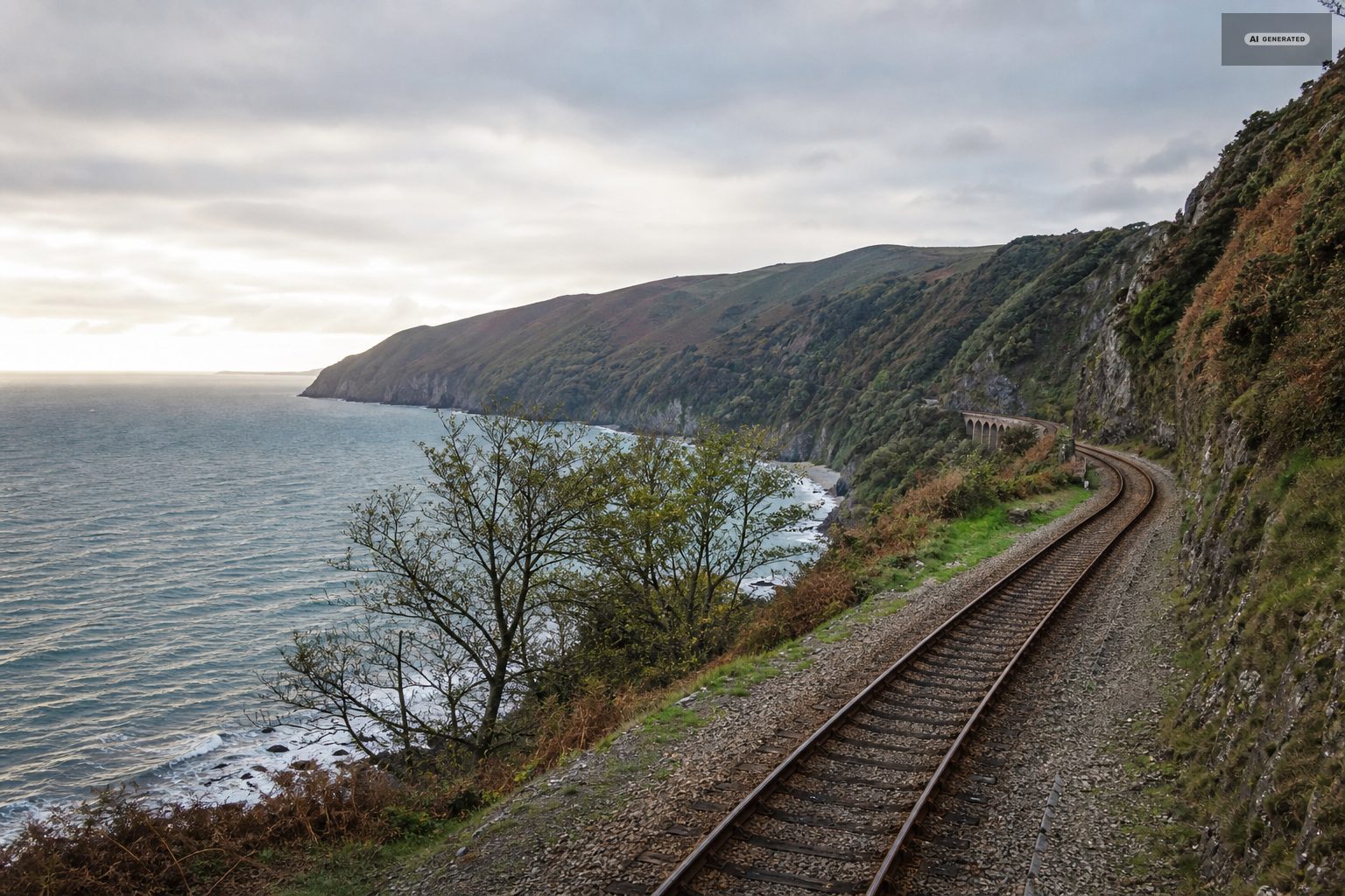
The nearest railway station is Barnstaple, at the end of the Tarka Line from Exeter. From there the 309 and 310 buses run to Lynton and Lynmouth, taking roughly an hour and a quarter and calling at villages along the way. Services are less frequent on Sundays and in winter, and the timetable is worth checking rather than assuming.
From the Somerset side, coast services run between Minehead and Lynmouth in the summer months, which makes a bus-and-walk day along the coast path possible in one direction.
-
AI-generated image 04
By bike
Cycling in is a serious undertaking in either direction - see cycling - but perfectly feasible for anyone used to hills. Bikes are carried on some bus services; check before relying on it.
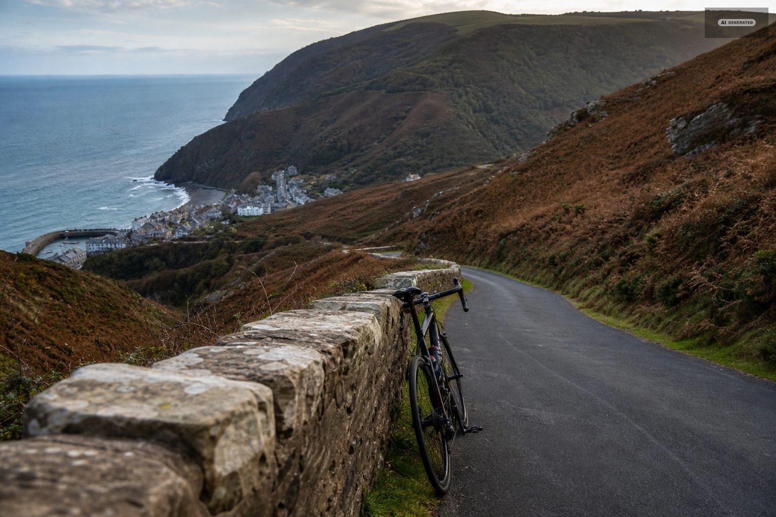
Arriving by bike is a serious undertaking rather than a pleasant approach: every road into Lynmouth drops five hundred feet or more, which means every road out climbs it. Countisbury Hill from the east and Lynmouth Hill from the west are both sustained 1-in-4 sections. The reward is that once you are here the moor roads are among the best riding in the south west.
-
AI-generated image 05
On foot
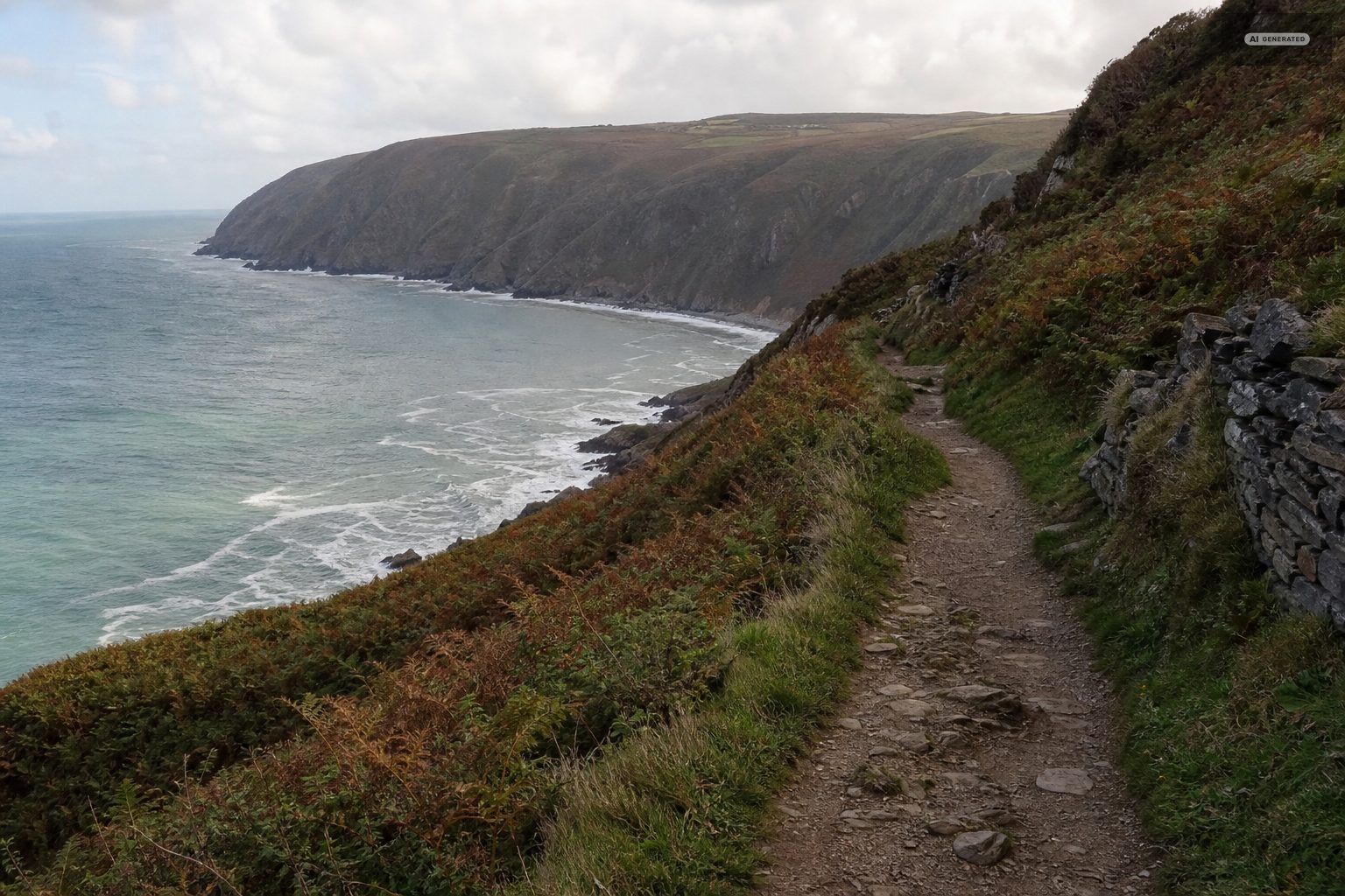
The South West Coast Path arrives from Porlock over Countisbury and leaves west through the Valley of the Rocks. The Two Moors Way starts at Lynmouth and runs south across the moor. Walkers arriving on either route come in at sea level, which is worth knowing when booking accommodation in Lynton.
The South West Coast Path runs through both villages, so a good number of arrivals are on foot with a pack. Coming from the east the path crosses Countisbury and drops into the harbour; from the west it comes along the North Walk from the Valley of the Rocks into Lynton. Both are spectacular and neither is flat.
-
AI-generated image 06
Getting around once you are here
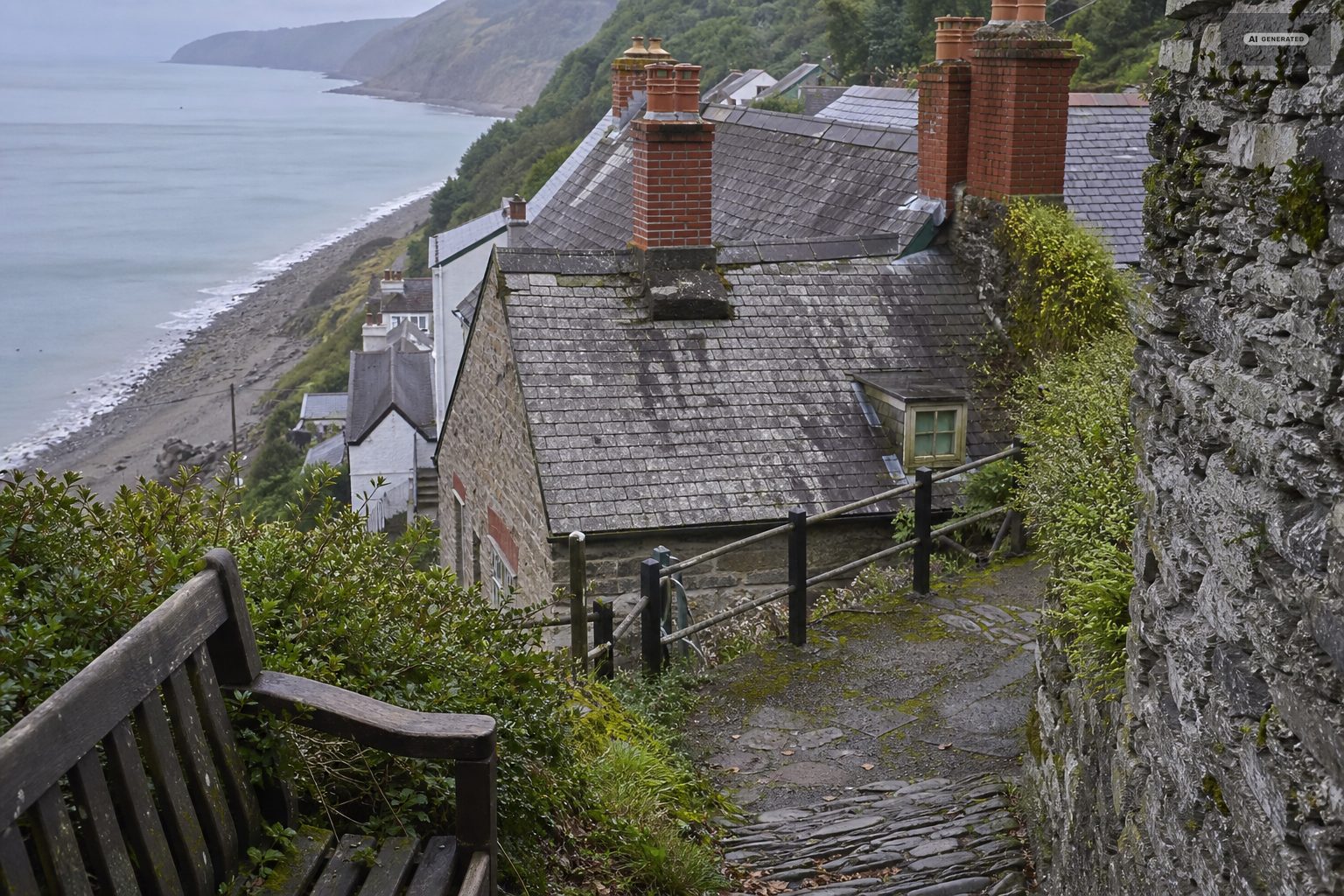
The two villages are half a mile apart horizontally and five hundred feet apart vertically. The cliff railway covers that in under two minutes and runs a full service through the main season and a reduced one at the shoulders. The road between them is walkable downhill and a genuine climb upward. Most of what there is to see is within two miles of the harbour and does not need a car.
For anything further - Dunkery Beacon, Porlock, the Doone Valley, Lundy sailings from Ilfracombe - a car or a well-read bus timetable becomes necessary.
The two villages work as one place on foot, with the cliff railway doing the vertical part. For anything beyond them - the beaches west along the coast, the moorland villages, the market towns - a car makes the difference, though the coastal bus service links the main points along the road in season.
Common questions
What is the nearest train station to Lynton and Lynmouth?
Barnstaple, about twenty miles away at the end of the Tarka Line from Exeter. The 309 and 310 buses run from there to the villages in roughly an hour and a quarter.
How steep is the road into Lynmouth?
Countisbury Hill, the eastern approach, is around 1 in 4, as is Porlock Hill further along the same road. Both are fine in a normal car in a low gear, and both are hard on brakes on the way down. The A39 from Barnstaple is the gentler approach.
Do you need a car in Lynton and Lynmouth?
Not for the villages themselves - almost everything worth seeing is within two miles of the harbour, and the cliff railway handles the height difference. For Dunkery Beacon, Porlock or the Doone Valley you will want one.
Is there parking in Lynmouth?
There are car parks in both villages but little on-street parking, and Lynmouth fills early in summer. Park once and use the cliff railway to move between the two.