Two villages, five hundred feet apart, with almost everything worth seeing inside a two-mile radius of the harbour.
At a glance
2
Villages
500 ft
Apart
1890
Cliff railway
2 miles
Holds most of it
Steep
In every direction
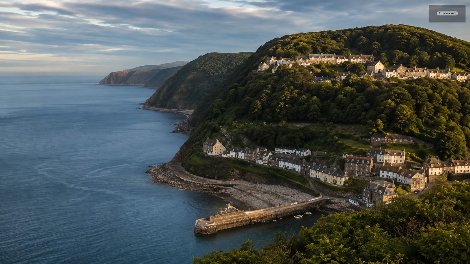
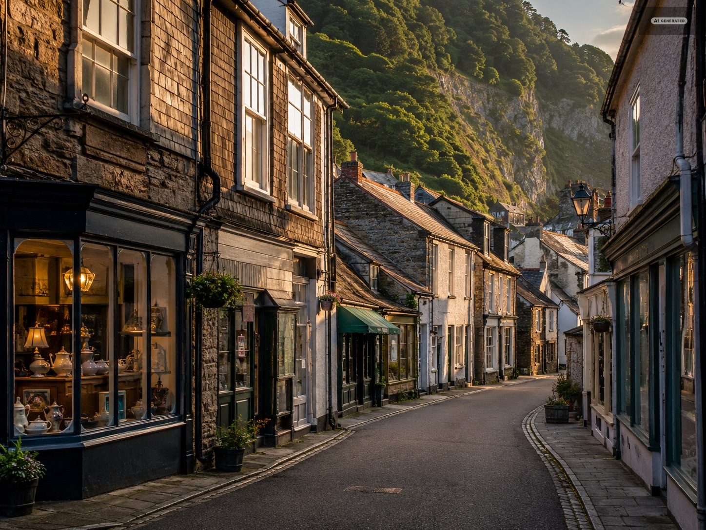
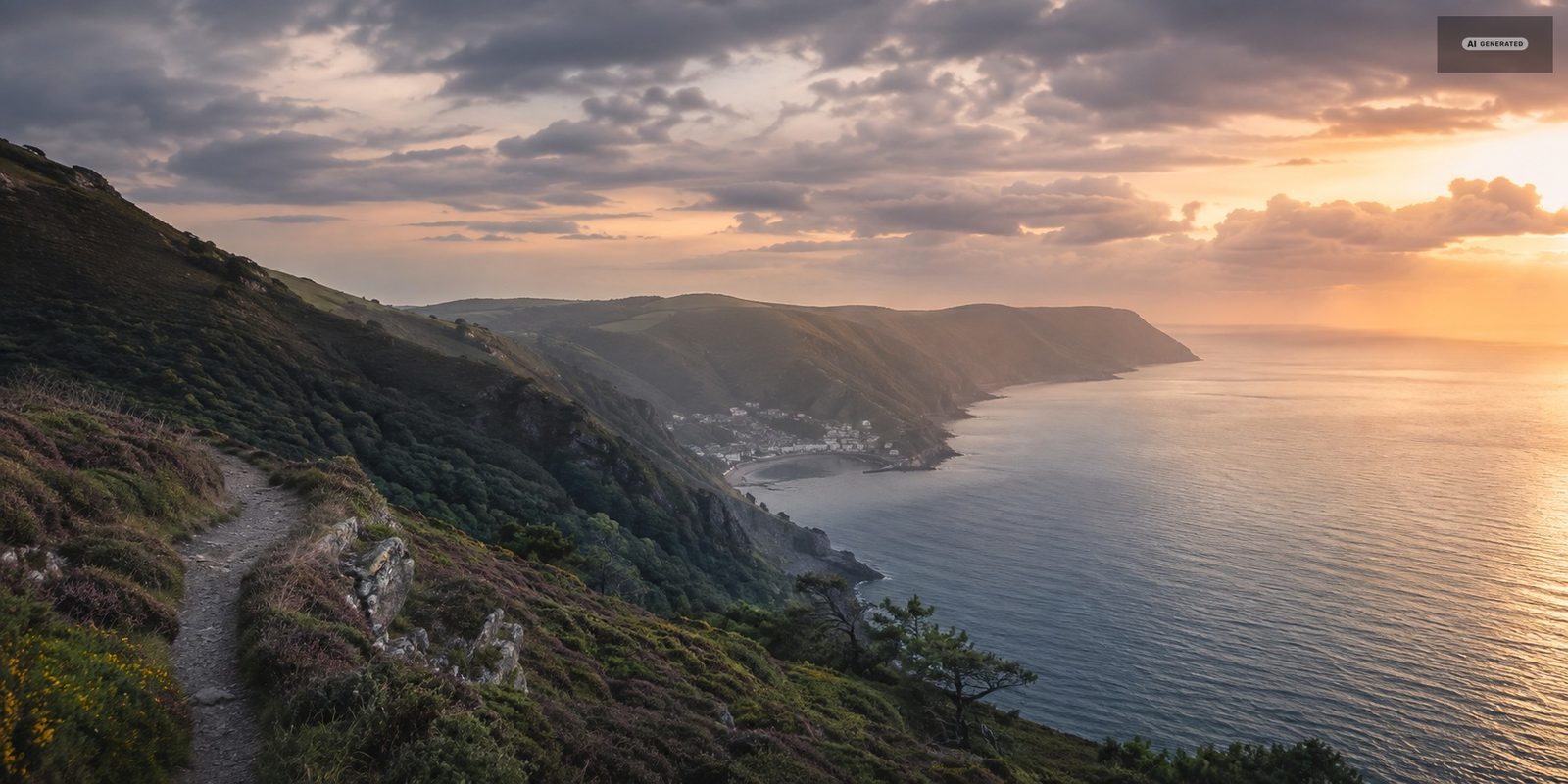
Lynmouth is the harbour village: stone cottages tumbling down to a small tidal harbour, two rivers arriving together, and cliffs going up behind it. Lynton sits on a shelf five hundred feet above, with the shops, the Town Hall and the wider streets. The Victorians christened the pair Little Switzerland, or the Alps of England, and the comparison holds up better than most tourist-board inventions because the vertical distance is genuine.
AI-generated image
01
The cliff railway
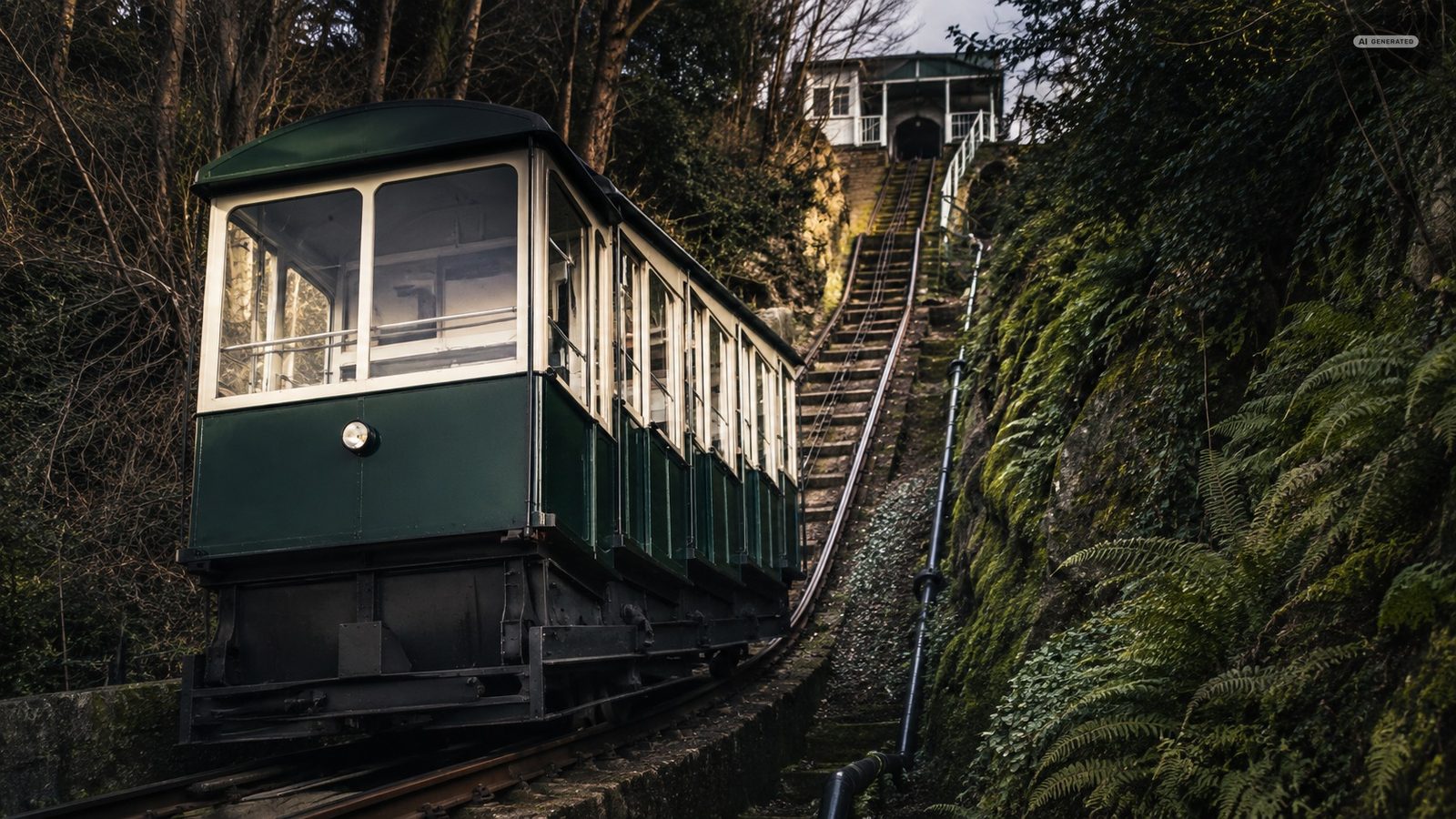
The thing to do first, in either direction. Opened at Easter 1890, it lifts passengers five hundred feet on water and gravity with no engine involved at all. Under two minutes each way.
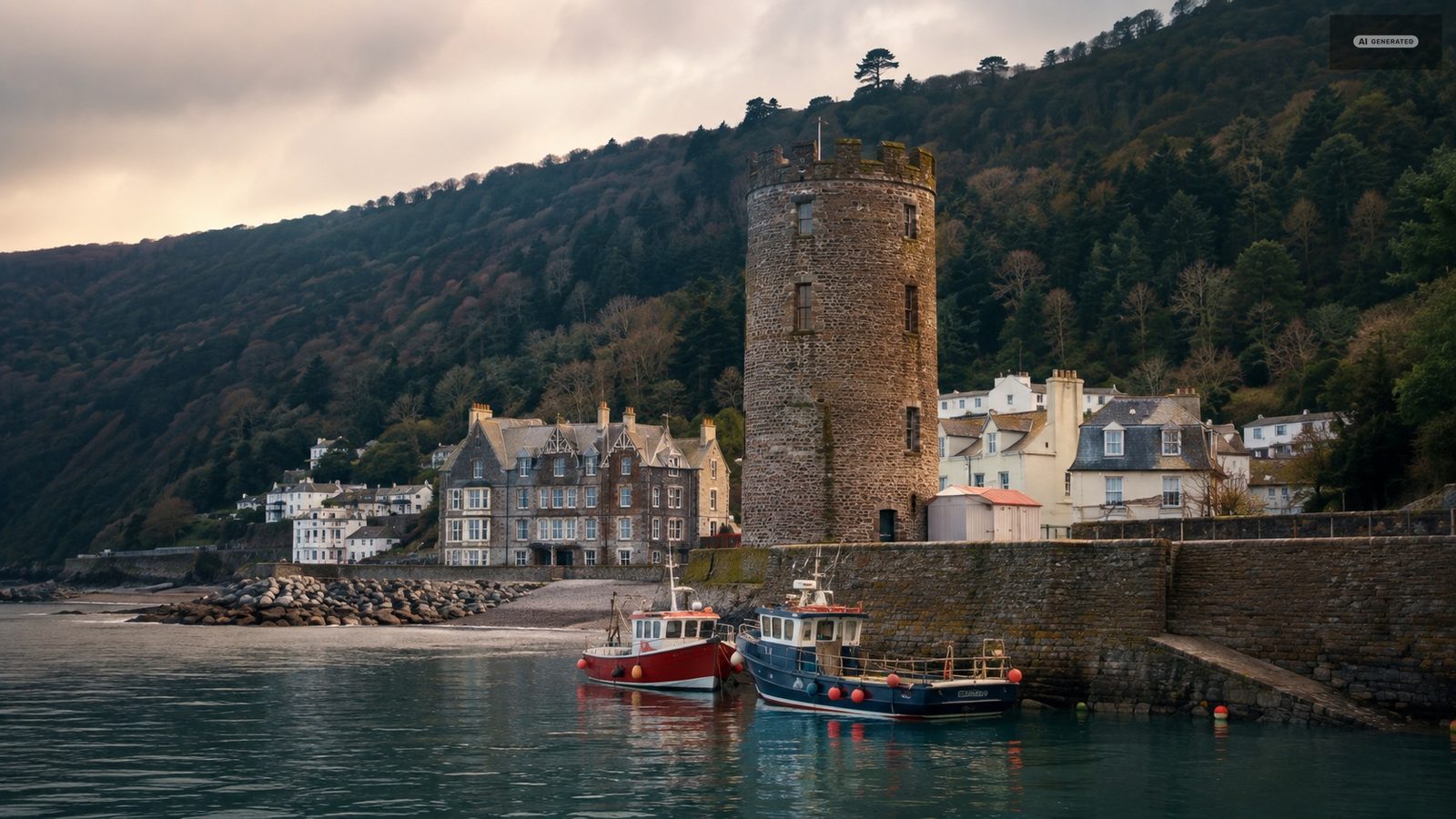
The squat round tower at the end of the harbour wall was built in the nineteenth century to store salt water for indoor bathing, and later converted to a beacon. It takes its name from a similar tower on the Rhine. It was destroyed in the 1952 flood and rebuilt in 1954, so the shape is original and the stonework is not. It is the single most photographed object in either village.
Nineteenth century
On the harbour wall
AI-generated image
03
The Flood Memorial Hall
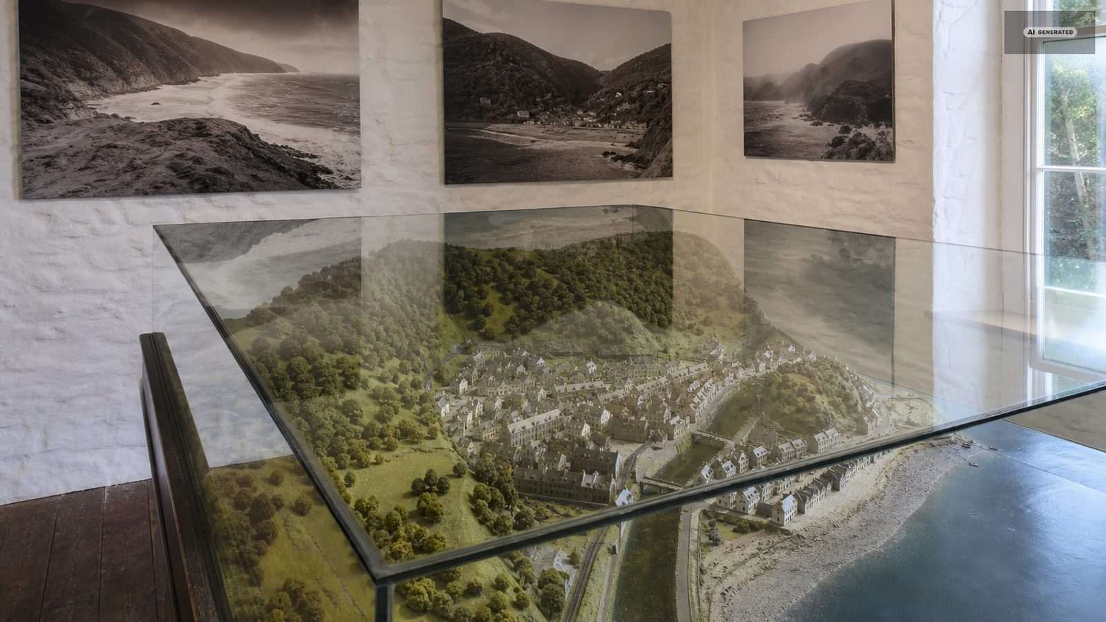
Opposite the harbour. A permanent exhibition on the night of 15 August 1952, built around a scale model of the village as it was before the water came, with photographs of the buildings that were lost and notes on where each of them stood. Half an hour, and it makes the rest of Lynmouth readable.
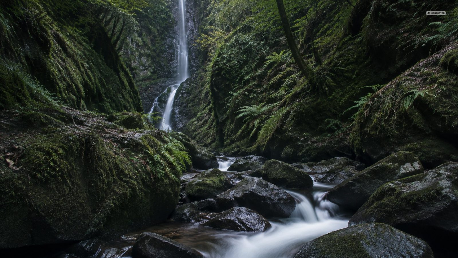
At the junction near Lynmouth where the West and East Lyn meet. The gorge now runs a hydroelectric scheme on the same water that flattened the village, and the site is set up around water power: wheels to spin, water cannons to fire, waterfalls reached by a path built with no steps, and a mobility scooter available for anyone who wants it. Good in rain, and a rare local attraction that works for young children.
Woodland walk
Steep paths
Good in rain
AI-generated image
05
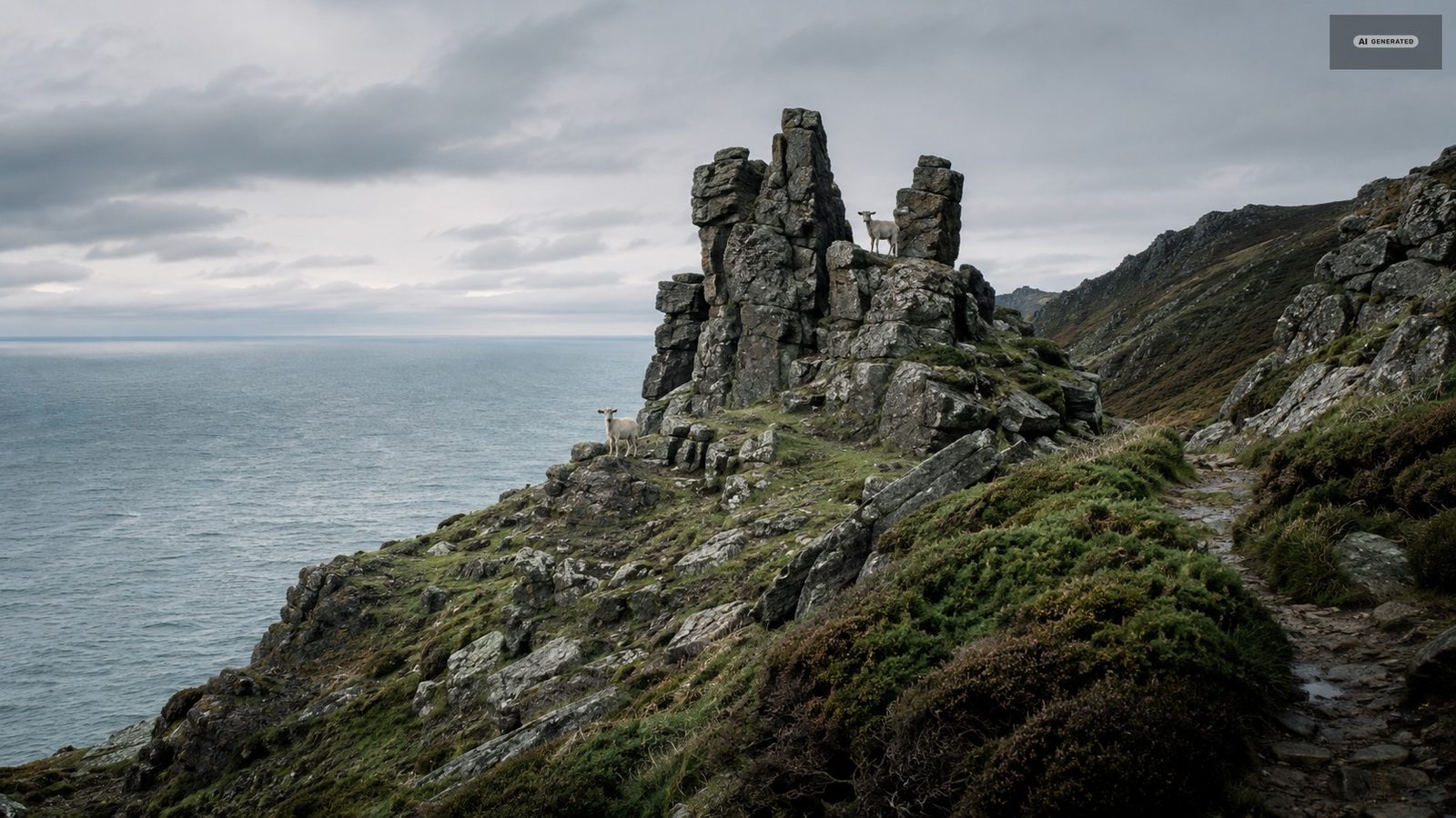
The Valley of the Rocks
A mile west of Lynton along a level cliff path. A dry valley running parallel to the coast, ringed with weathered rock towers and held by a herd of feral goats. Allow two hours from Lynton for the round trip and longer if you climb onto the ridge.
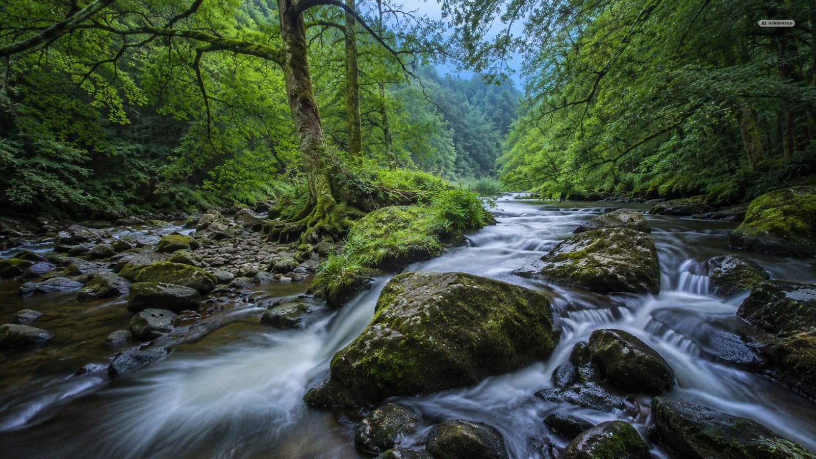
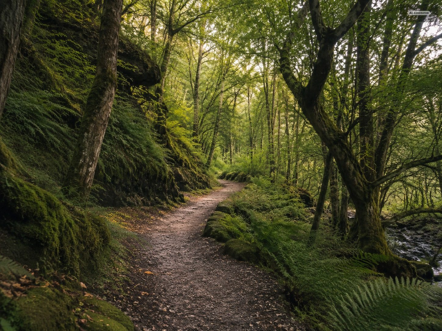
A mile and a half up the East Lyn from the harbour, where Hoar Oak Water joins it in a wooded gorge, with a National Trust tea room at the confluence. The most-walked path in the area.
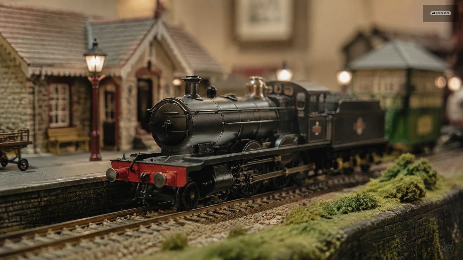
A small indoor exhibit built around a London and North Eastern Railway layout dating from the second half of the 1930s. The space is not large; the detail is the point. Twenty minutes, and another dependable wet-afternoon option.
Indoors
About twenty minutes
AI-generated image
08
Lynmouth Street and the shops
Cafes and tea rooms serving home baking, ice cream and waffles, alongside shops carrying arts and crafts, leather, clothing and homeware. Lynton has a second, quieter cluster around Lee Road. Neither is large, and both are genuinely local rather than chain.
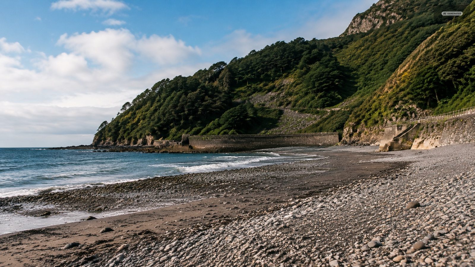
Lynmouth is not a beach village - the shore is mostly large boulders and coarse sand - but the eastern shoreline gives a short, wild walk. Cross at the harbour and continue past the Manor Green. Stay off the cliff base and watch the tide, which moves quickly here.
Boulders, not sand
Watch the tide
A day that works
One climb, all of it taken by machine, and nothing that needs a car.
Morning
Lynton
From 10:00
Ride the cliff railway down, then the harbour, the Rhenish Tower and half an hour in the Flood Memorial Hall.
Midday
Watersmeet
From 12:00
Walk up the East Lyn to the confluence and back for lunch. Forty to sixty minutes each way, sheltered by tree cover.
Afternoon
Valley of the Rocks
From 14:00
Ride back up and take the North Walk along the cliff. Two hours for the round trip, longer onto the ridge.
Evening
Lynmouth harbour
From 17:00
Down again for the end of the light, and dinner on Lynmouth Street or at the harbour.
Common questions
What is there to do in Lynton and Lynmouth in a day?
Ride the cliff railway, see the harbour and the Rhenish Tower, spend half an hour in the Flood Memorial Hall, walk to Watersmeet and back, and finish on the North Walk to the Valley of the Rocks. That fills a day comfortably and needs no car.
Why are Lynton and Lynmouth called Little Switzerland?
The Victorians gave the pair the name - also the Alps of England - because of the height of the wooded cliffs, the gorges and the vertical drop between the two villages.
What is there to do in Lynmouth when it rains?
The Flood Memorial Hall, the Lyn Model Railway and Glen Lyn Gorge all work in wet weather, and the Watersmeet path is sheltered by tree cover for most of its length.
Is there a beach at Lynmouth?
Not a sandy one. The shore is mostly boulders and coarse sand, and the eastern shoreline is better treated as a short wild walk than a beach day. Check the tide before going out.