A half day by road
The 21 Mile Drive: Exmoor, the coast and back in a single loop
Twenty-one miles that take in a 1 in 4 coastal hill, a wooded toll road, a shingle harbour and a crossing of open moor.
The 21 Mile Drive is the long-standing local answer to the question of what to do with half a day and a car. It leaves Lynton eastward along the coast, climbs onto the moor at Porlock, and comes back across open Exmoor - so it covers the three landscapes of this coast in one circuit without repeating itself.
-
AI-generated image 01
The route
Lynton to Countisbury
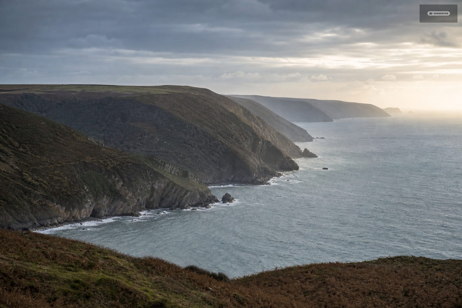
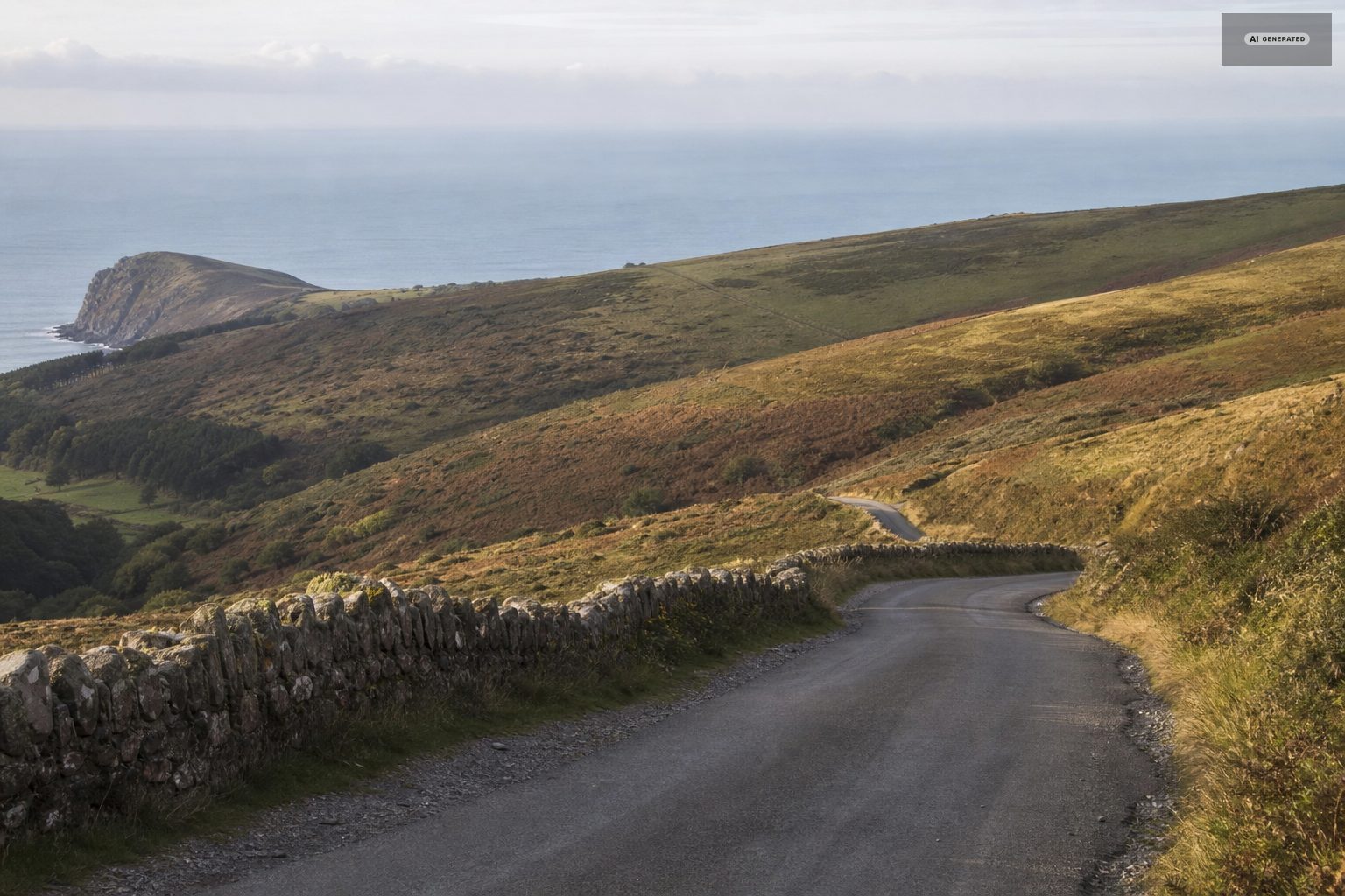
Out of Lynmouth on the A39 and straight up Countisbury Hill, a long steady 1 in 4 with the sea falling away to the left. There is a pull-in near the top with a view back over the harbour that is worth the stop. Foreland Point, the northernmost tip of Devon, is below and to the north.
Countisbury to Porlock
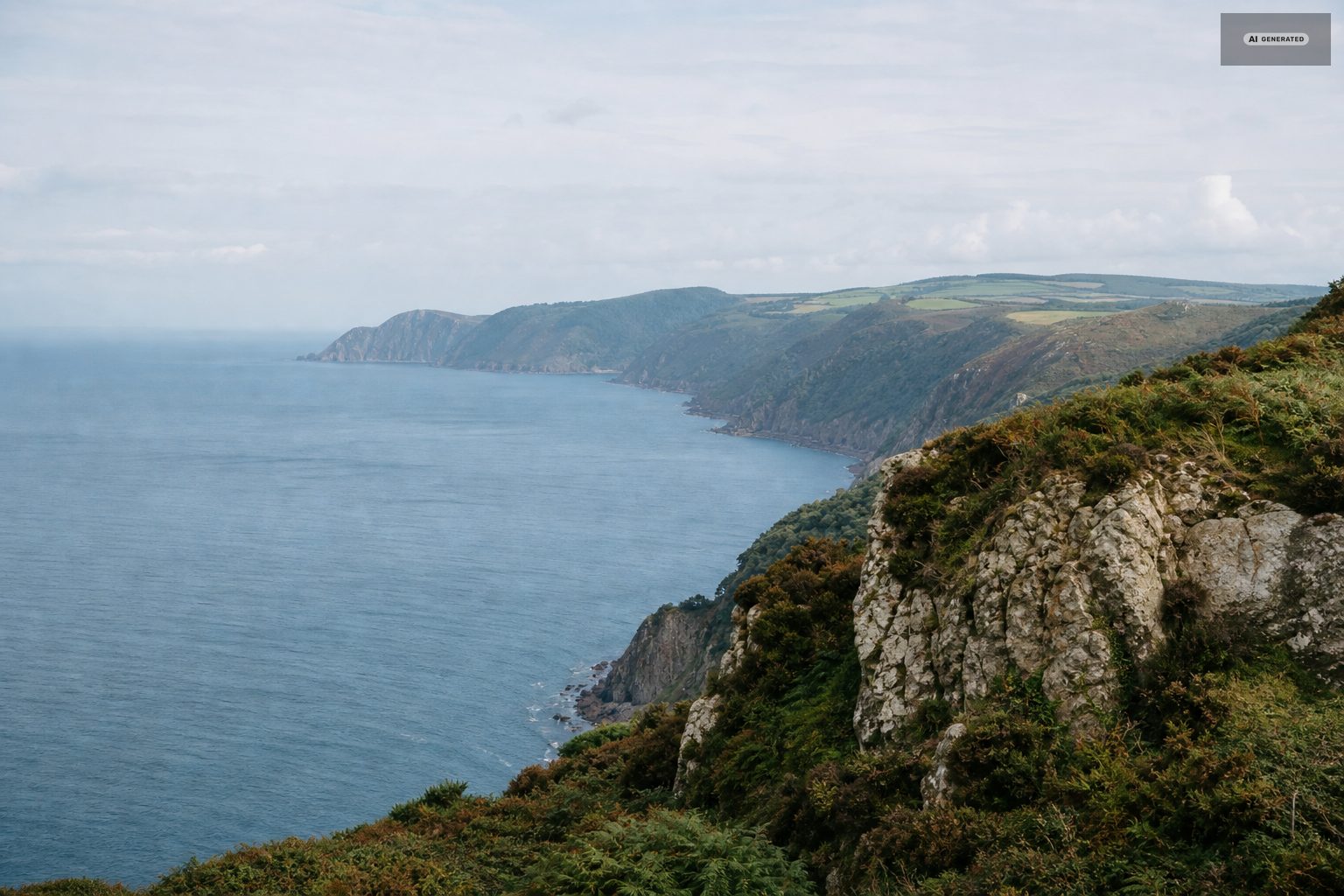
The road runs high above the sea through Oare and County Gate, crossing from Devon into Somerset. Oare church, a mile off the road, is the setting for the most famous scene in Lorna Doone. Then comes Porlock Hill, dropping 1 in 4 in a series of hairpins into the village.
The toll road is the alternative to Porlock Hill in either direction. It is longer, wooded, considerably gentler, and the right choice with a caravan, an older vehicle or a driver who would rather not do the hairpins.
Porlock and Porlock Weir
Porlock is the natural coffee stop. Porlock Weir, a mile and a half further on, is a small shingle harbour with a handful of buildings and an anchorage, and is the prettiest ten minutes on the route.
Across the moor
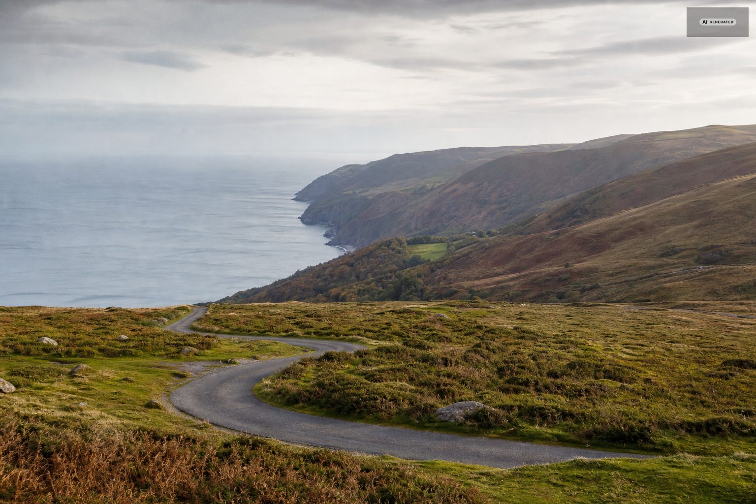
The return leg climbs back onto open Exmoor and crosses it westward, through country that is heather, sheep, ponies and long views with very little else in it. This is the section where the drive stops being a coast road and becomes a moor road, and it is the reason to do the loop rather than the coast out and back.
-
AI-generated image 02
Stops worth making
- Countisbury summit - the view back over Lynmouth and the Channel.
- County Gate - parking, information and the Devon-Somerset boundary, with paths dropping into the Doone country.
- Porlock Weir - shingle harbour, a short walk and somewhere to eat.
- Dunkery Beacon - a detour off the moor road to the highest point on Exmoor at 1,705 feet, with a short walk from the car to the cairn.
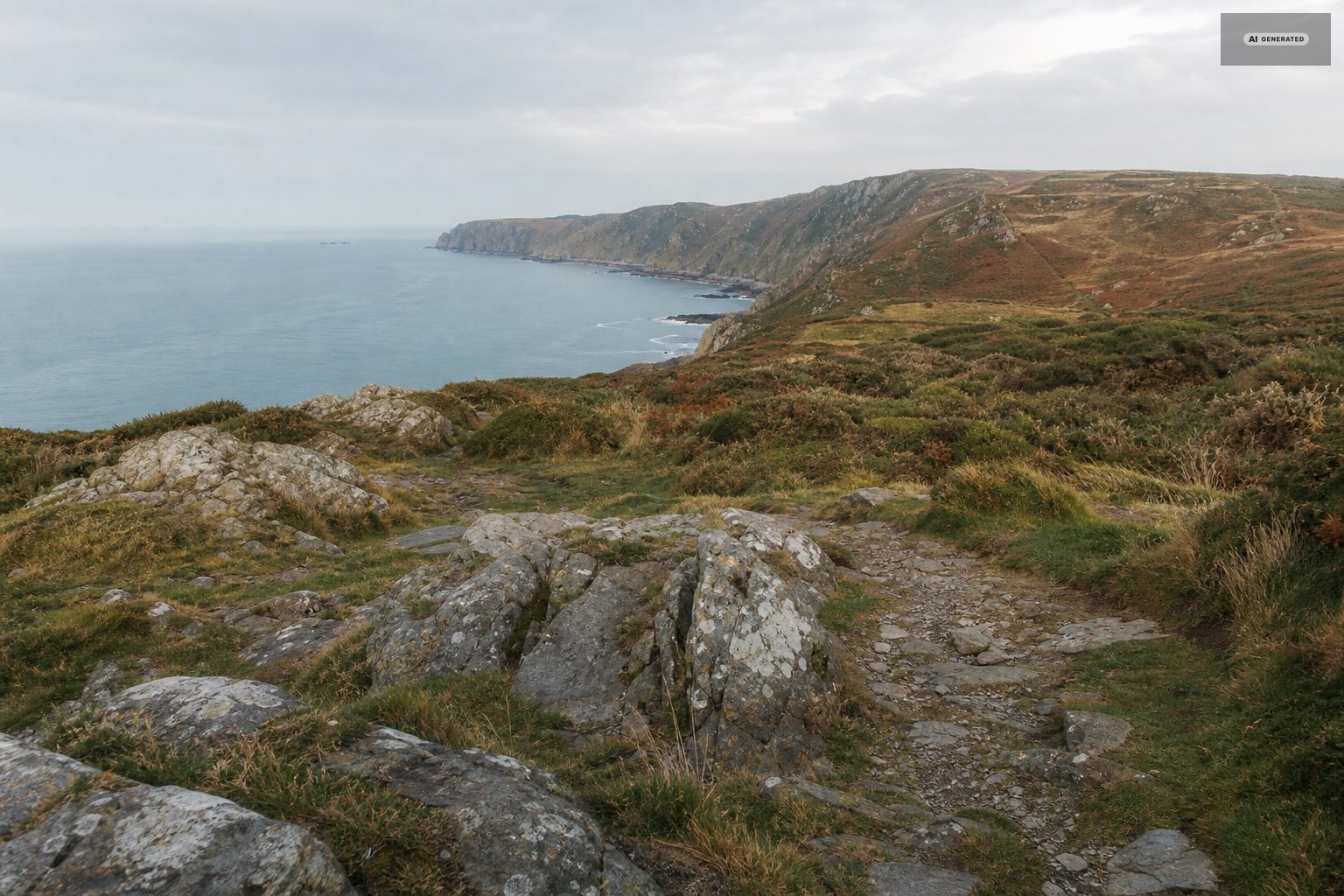
The stops are what turn the loop from a drive into a day. Countisbury for the view back over the harbour, Porlock Weir for the shingle and the boats, Bossington and Selworthy for two very different villages a couple of miles apart, and Dunkery Beacon if the weather is clear enough to make the detour worth it. Each of them is a short walk from the car rather than an expedition.
Allow longer than the mileage suggests. Twenty-one miles sounds like an hour; with the hills, the single-track sections and the stops it is comfortably a half day, and a full one if you eat somewhere along the way.
-
AI-generated image 03
Driving it well
Use a low gear on both descents rather than the brakes; the smell of hot brakes at the bottom of Porlock Hill is a local summer constant and entirely avoidable. The moorland sections are single track in places with passing places and blind crests, and sheep and ponies have right of way in practice if not in law. Fuel before you set out - there is very little of it on the loop.
Allow half a day. Done without stopping it is under an hour, and that would be a waste of the only road in England that does this.
Two hills define the route. Countisbury and Porlock are both long, steep and unforgiving of a hot clutch or an overloaded car; the toll road offers a gentler alternative to Porlock Hill and is worth the money if you are towing or nervous. Descend in a low gear rather than on the brakes, and expect to meet something coming the other way on the narrow sections.
Common questions
How long does the 21 Mile Drive take?
Under an hour driven straight through, but the point is the stops. Allow half a day for Countisbury, County Gate, Porlock Weir and a detour to Dunkery Beacon.
How steep is Porlock Hill?
About 1 in 4, with hairpin bends. It is manageable in a normal car in a low gear. The Porlock toll road is the longer, gentler alternative and the sensible choice with a caravan.
Can you drive the 21 Mile Drive with a caravan?
Not over Porlock Hill. Use the toll road in both directions, and take the A39 from Barnstaple rather than the coast road when arriving.
Where does the 21 Mile Drive start?
From Lynton or Lynmouth. The usual direction is east over Countisbury first and back across the moor, which puts the steep descent of Porlock Hill in the middle rather than at the end.